Square and waterfront
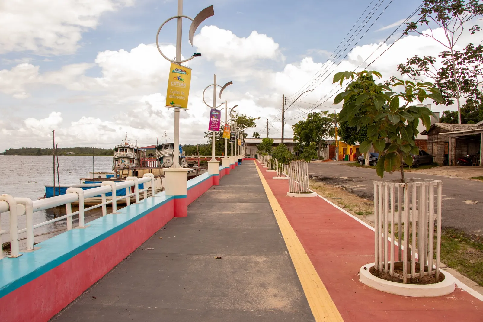
Cutias do Araguari Waterfront
Cutias, AP
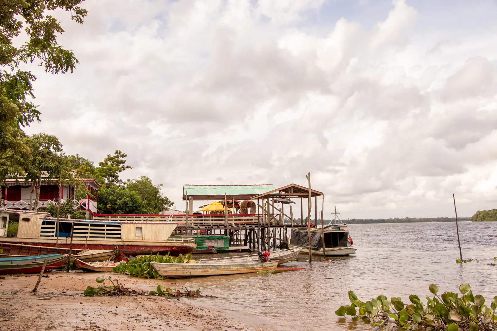
Cutias’ riverside scenery.
Automatic translation. This text was translated from Portuguese by artificial intelligence and has not yet been reviewed by a person.
Searches for this place by name on Google Maps. Check the result and access before starting your journey.
Getting here and around · Cutias ↗
Photos
Select a photo to enlarge it. Captions identify the place and the source.
-
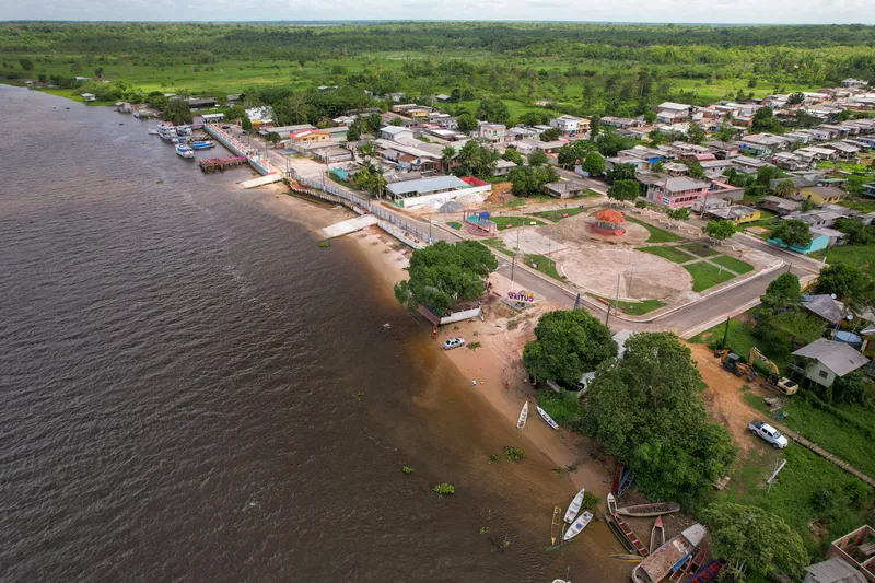
Aerial view of Cutias do Araguari Waterfront, Cutias. Photograph dated 2024 in the original metadata. Photo: Acervo Fecomércio Amapá / Cetur · Uso autorizado pela Fecomércio AP, titular do portal turismoamapa.com.br (21/10/2026). — Licence & original -
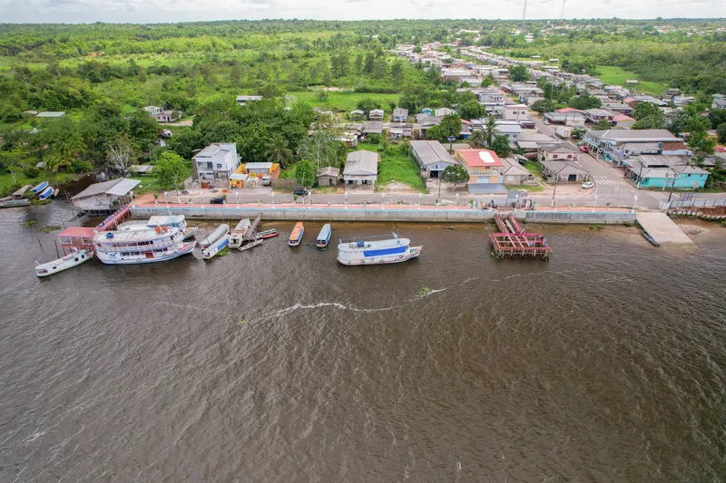
Contemporary record Orla de Cutias do Araguari: Fecomércio Amapá collection, photographed in January 2024. Photo: Acervo Fecomércio Amapá / Cetur · Uso autorizado pela Fecomércio AP, titular do portal turismoamapa.com.br (21/10/2026). — Licence & original -
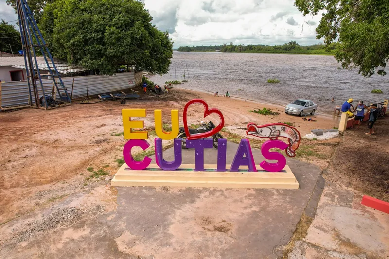
Contemporary record Orla de Cutias do Araguari: Fecomércio Amapá collection, photographed in January 2024. Photo: Acervo Fecomércio Amapá / Cetur · Uso autorizado pela Fecomércio AP, titular do portal turismoamapa.com.br (21/10/2026). — Licence & original -
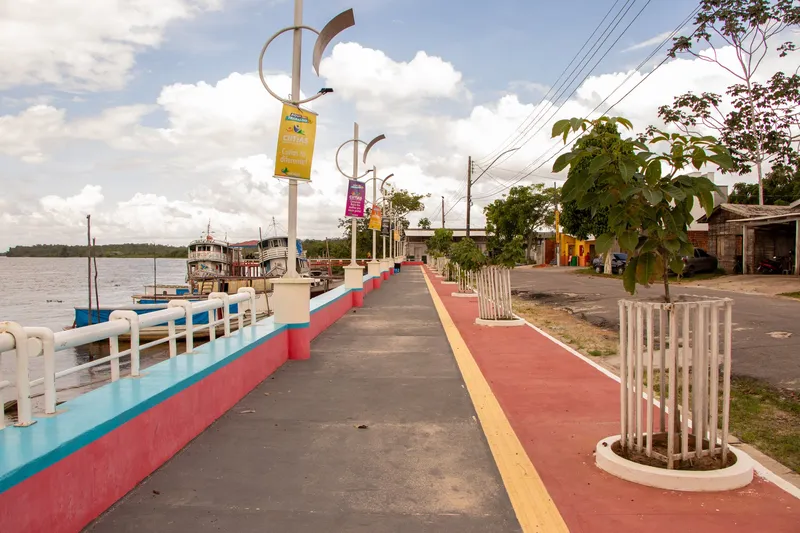
Contemporary record Orla de Cutias do Araguari: Fecomércio Amapá collection, photographed in January 2024. Photo: Acervo Fecomércio Amapá / Cetur · Uso autorizado pela Fecomércio AP, titular do portal turismoamapa.com.br (21/10/2026). — Licence & original -
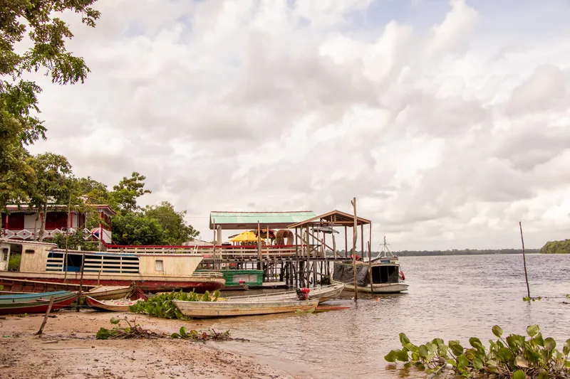
Contemporary record Orla de Cutias do Araguari: Fecomércio Amapá collection, photographed in January 2024. Photo: Acervo Fecomércio Amapá / Cetur · Uso autorizado pela Fecomércio AP, titular do portal turismoamapa.com.br (21/10/2026). — Licence & original
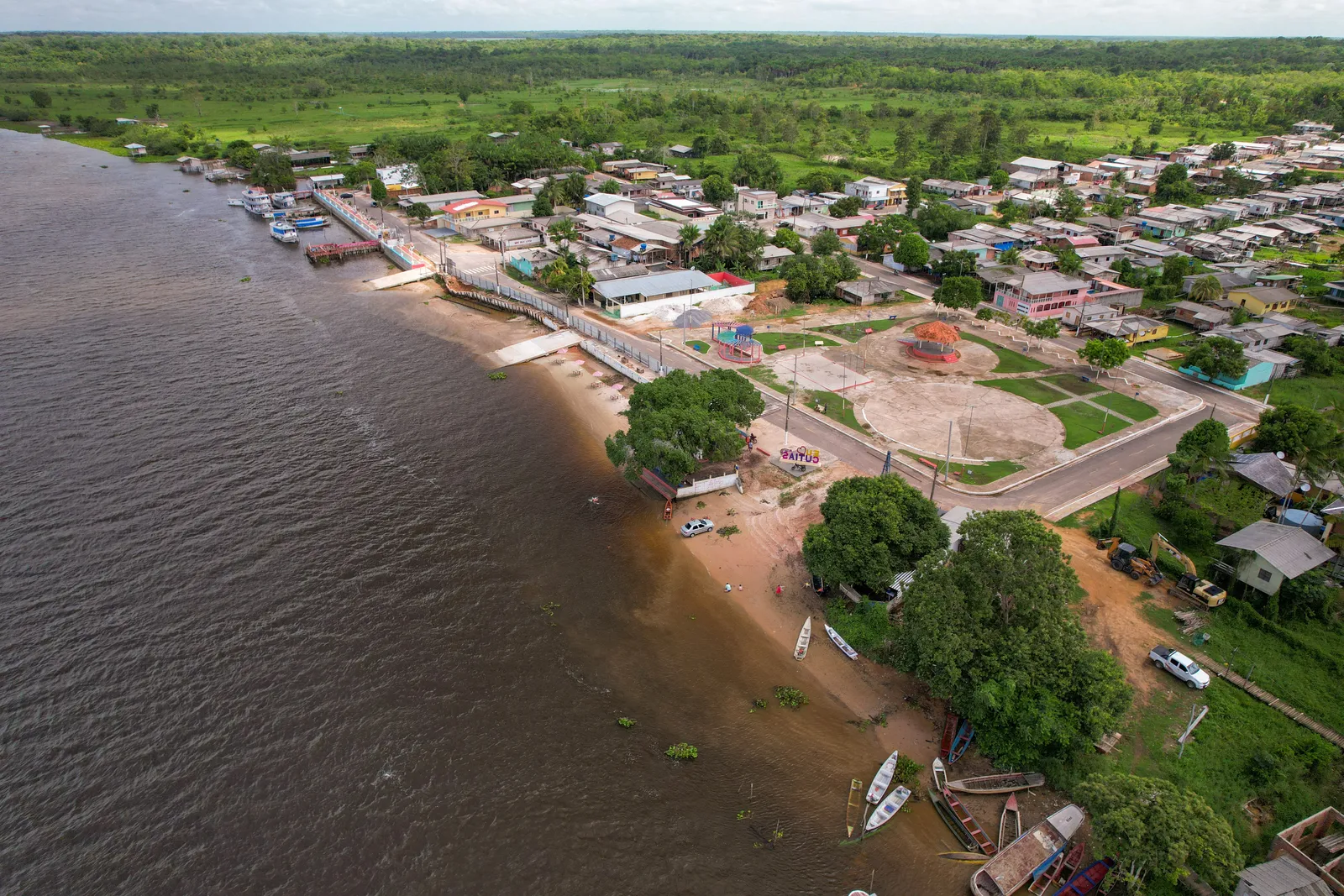
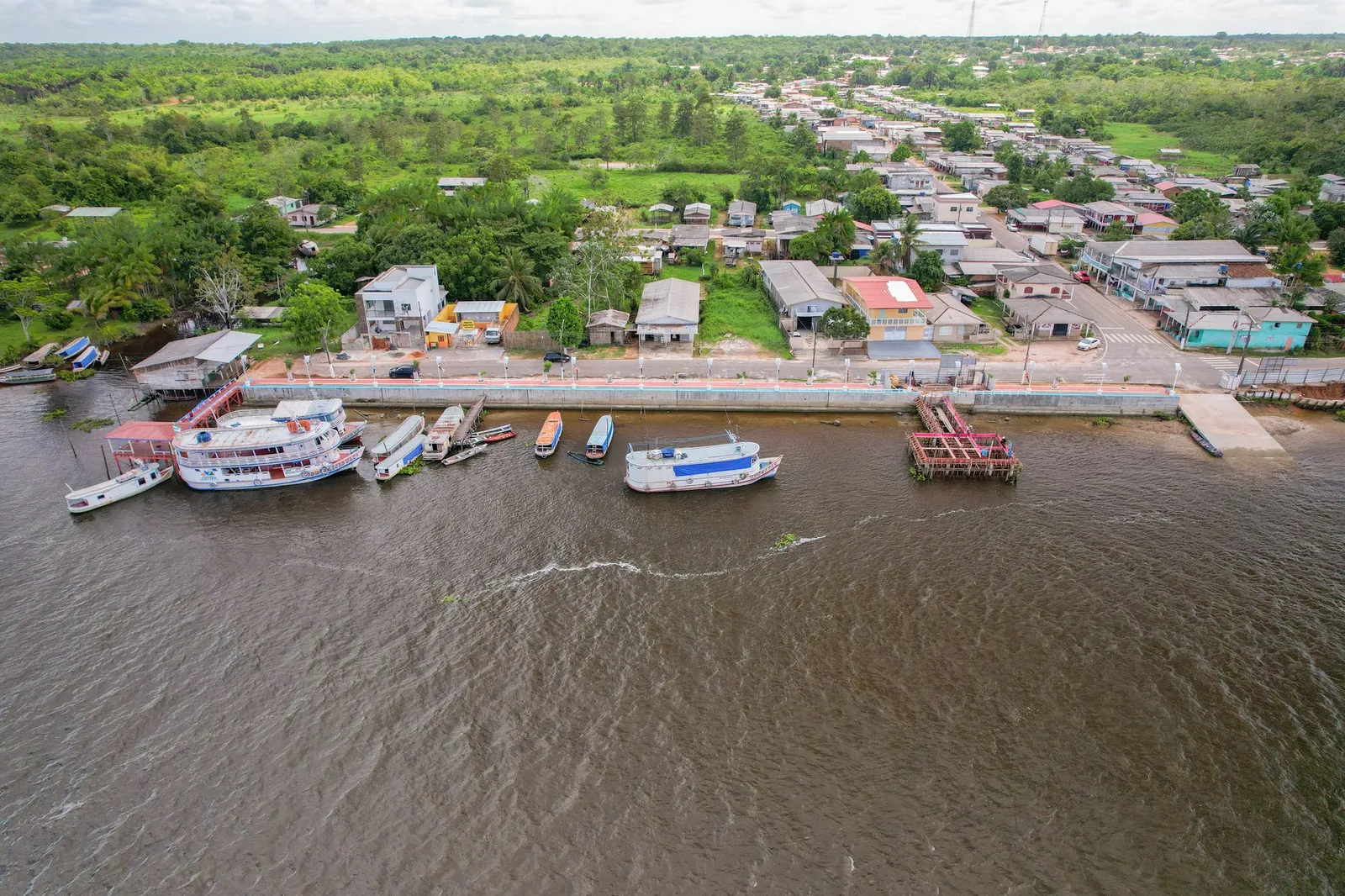
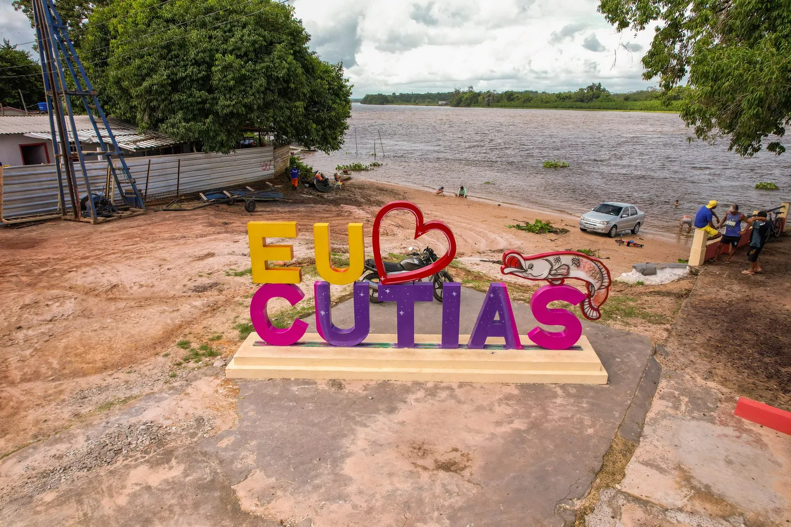
Discover this place
Listen to the story
Automatic reading of the text below in its available language. Offline use requires a voice installed on this device.
Read-aloud requires a compatible browser voice. The full text is available below.
The waterfront helps explain Cutias’s relationship with the Araguari River. The municipal centre stands on its left bank, and small-scale pirarucu fishing forms part of the local economy and identity. The former tidal bore also belongs to regional memory, without promising that it can be seen today.
Listed in the tourism inventory, the waterfront is a starting reference for exploring town and observing the relationship between urban space and river. Listen to residents’ accounts and arrange any available boat trips beforehand. A waterfront listing does not confirm regular boat services, a swimming area or a fixed event schedule.
Sources & information
- Fecomércio AP — Orla de Cutias do Araguari Accessed on 2026-09-22
- IEPA — Atlas Geográfico Escolar do Estado do Amapá (2025): Cutias Accessed on 2026-09-22