Park and protected area
APA do Rio Curiaú
Macapá, AP
Protected landscape associated with Curiaú’s quilombola communities.
Automatic translation. This text was translated from Portuguese by artificial intelligence and has not yet been reviewed by a person.
Searches for this place by name on Google Maps. Check the result and access before starting your journey.
Getting here and around · Macapá ↗
Photos
Select a photo to enlarge it. Captions identify the place and the source.
-
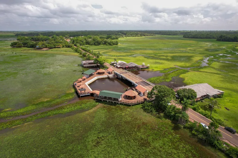
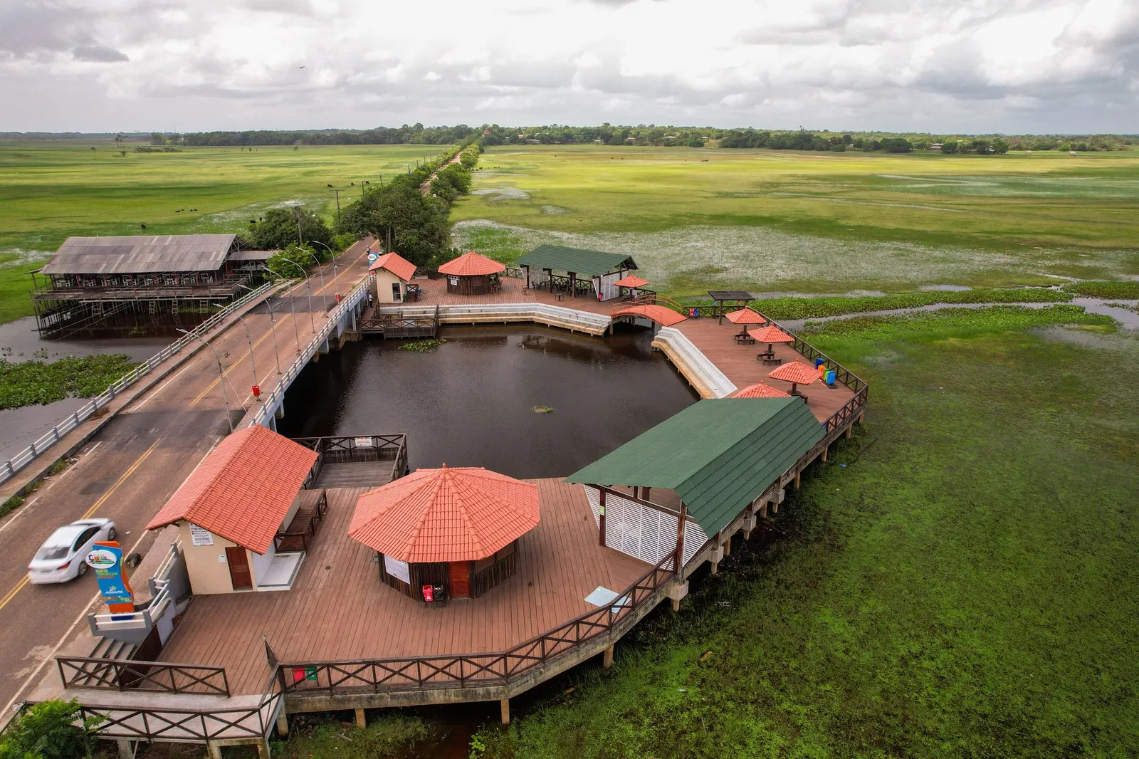
Contemporary record APA do Rio Curiaú: Fecomércio Amapá collection, photographed in January 2024. Photo: Acervo Fecomércio Amapá / Cetur · Uso autorizado pela Fecomércio AP, titular do portal turismoamapa.com.br (21/10/2026). — Licence & original -
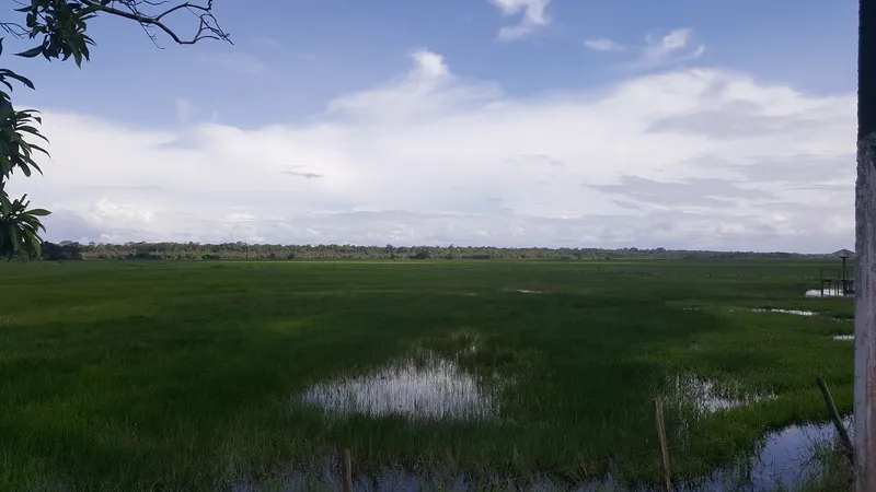
Seasonally flooded grasslands in the Curiaú River Environmental Protection Area, Macapá. Photo: Daniel Tavares Farias · CC BY-SA 4.0 — Licence & original -
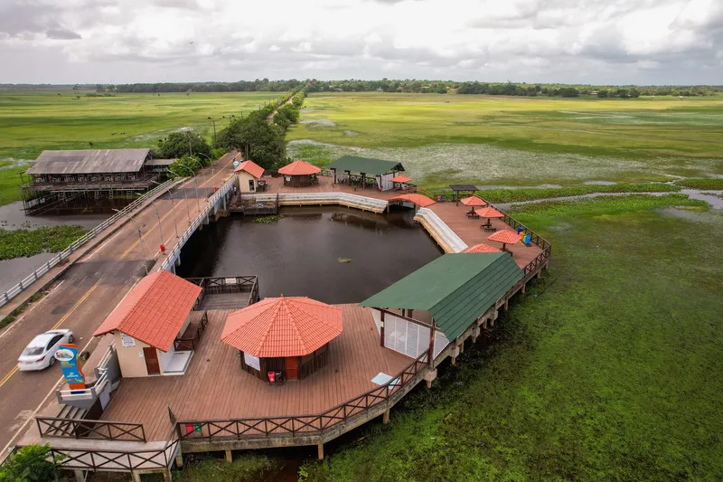
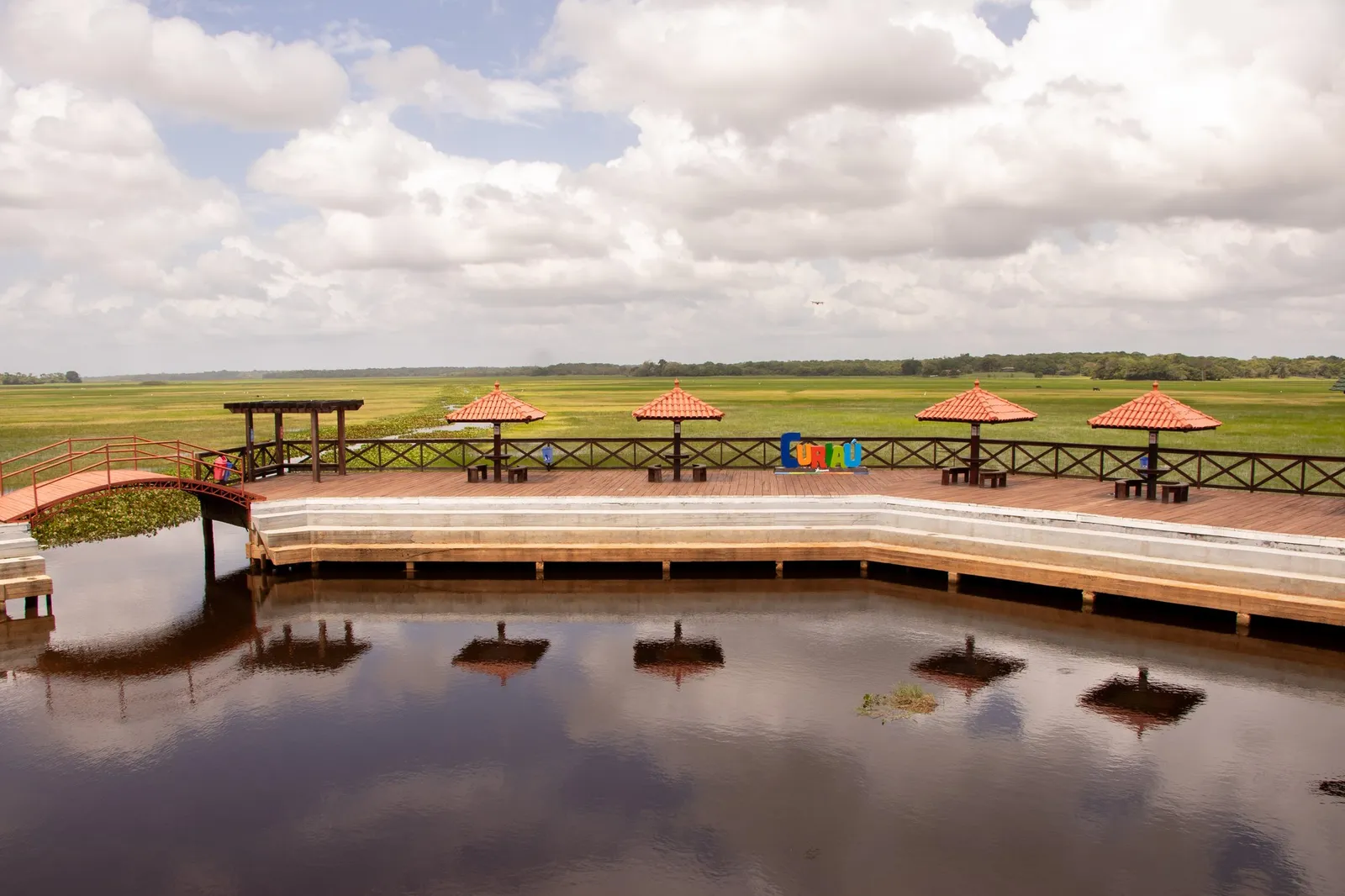
Contemporary record APA do Rio Curiaú: Fecomércio Amapá collection, photographed in January 2024. Photo: Acervo Fecomércio Amapá / Cetur · Uso autorizado pela Fecomércio AP, titular do portal turismoamapa.com.br (21/10/2026). — Licence & original -
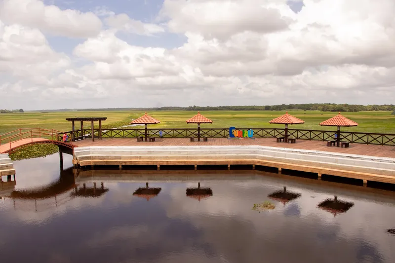
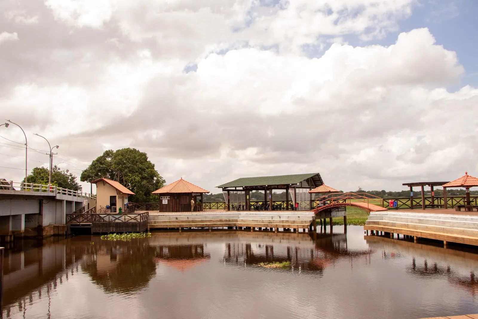
Contemporary record APA do Rio Curiaú: Fecomércio Amapá collection, photographed in January 2024. Photo: Acervo Fecomércio Amapá / Cetur · Uso autorizado pela Fecomércio AP, titular do portal turismoamapa.com.br (21/10/2026). — Licence & original -
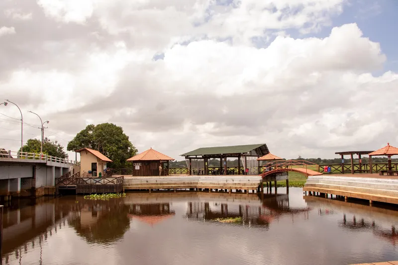
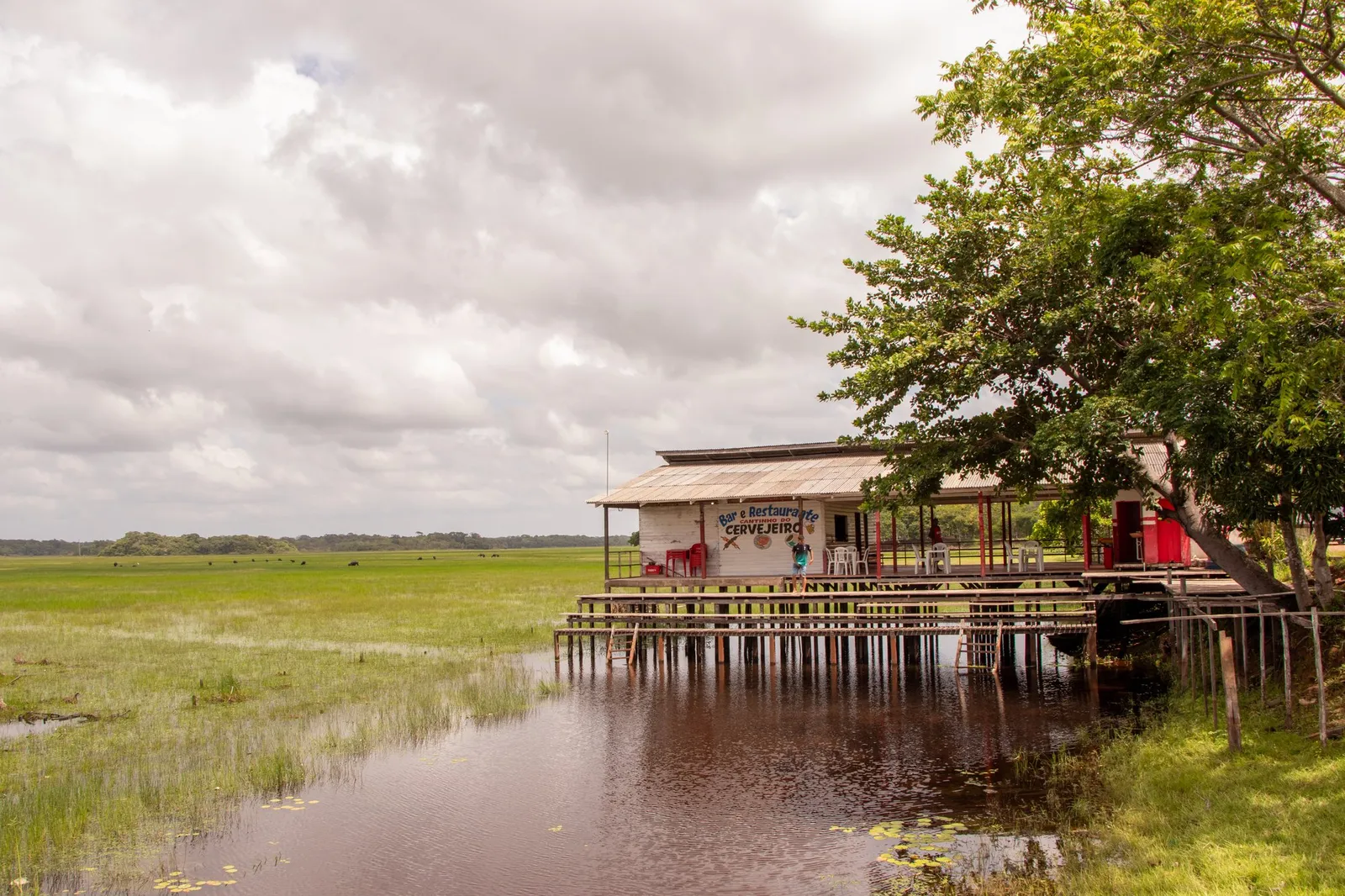
Contemporary record APA do Rio Curiaú: Fecomércio Amapá collection, photographed in January 2024. Photo: Acervo Fecomércio Amapá / Cetur · Uso autorizado pela Fecomércio AP, titular do portal turismoamapa.com.br (21/10/2026). — Licence & original -
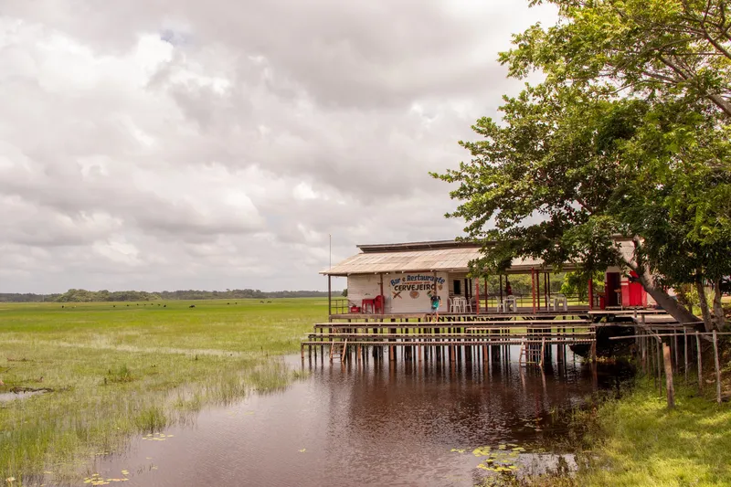
Contemporary record APA do Rio Curiaú: Fecomércio Amapá collection, photographed in January 2024. Photo: Acervo Fecomércio Amapá / Cetur · Uso autorizado pela Fecomércio AP, titular do portal turismoamapa.com.br (21/10/2026). — Licence & original
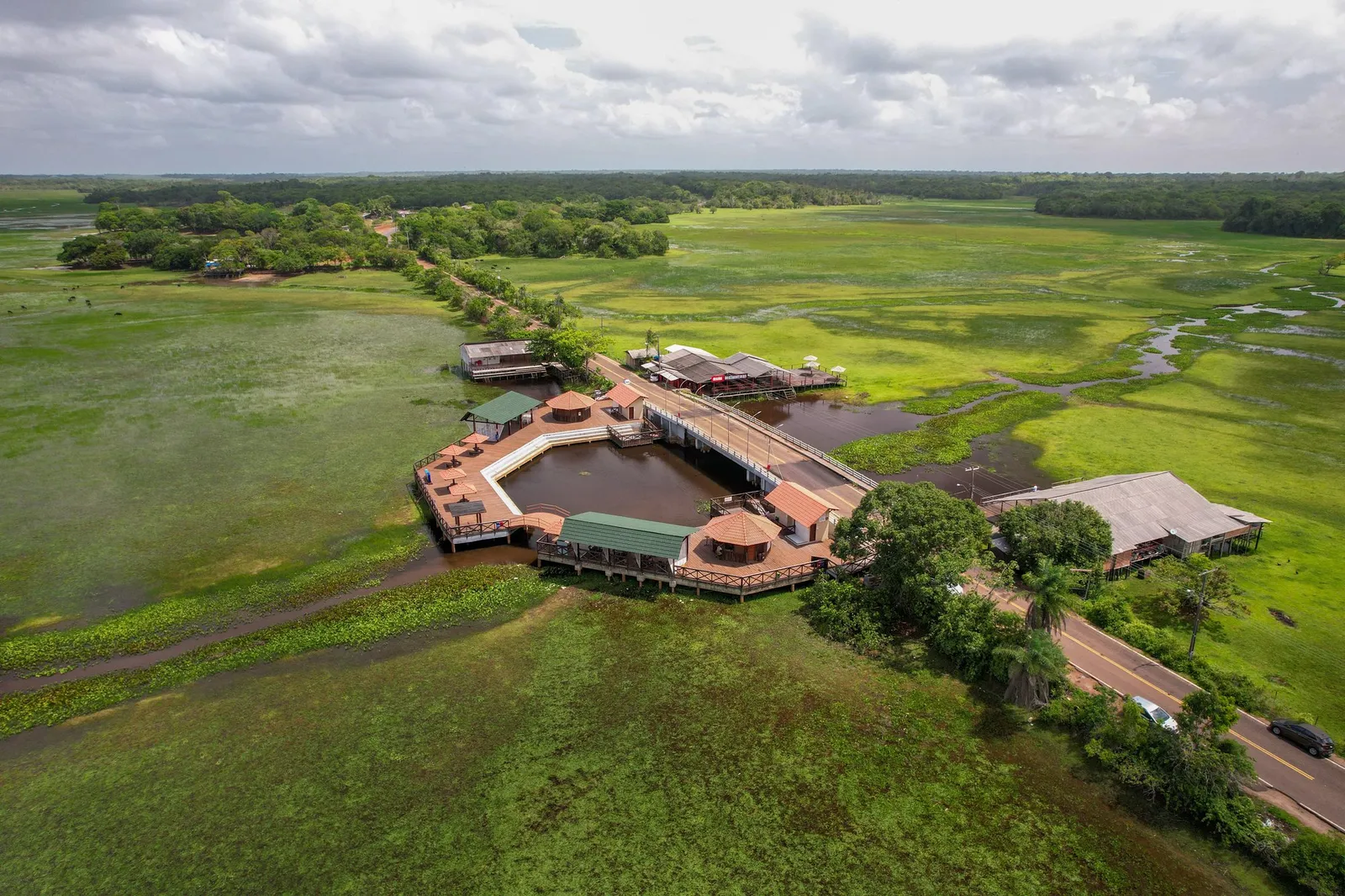
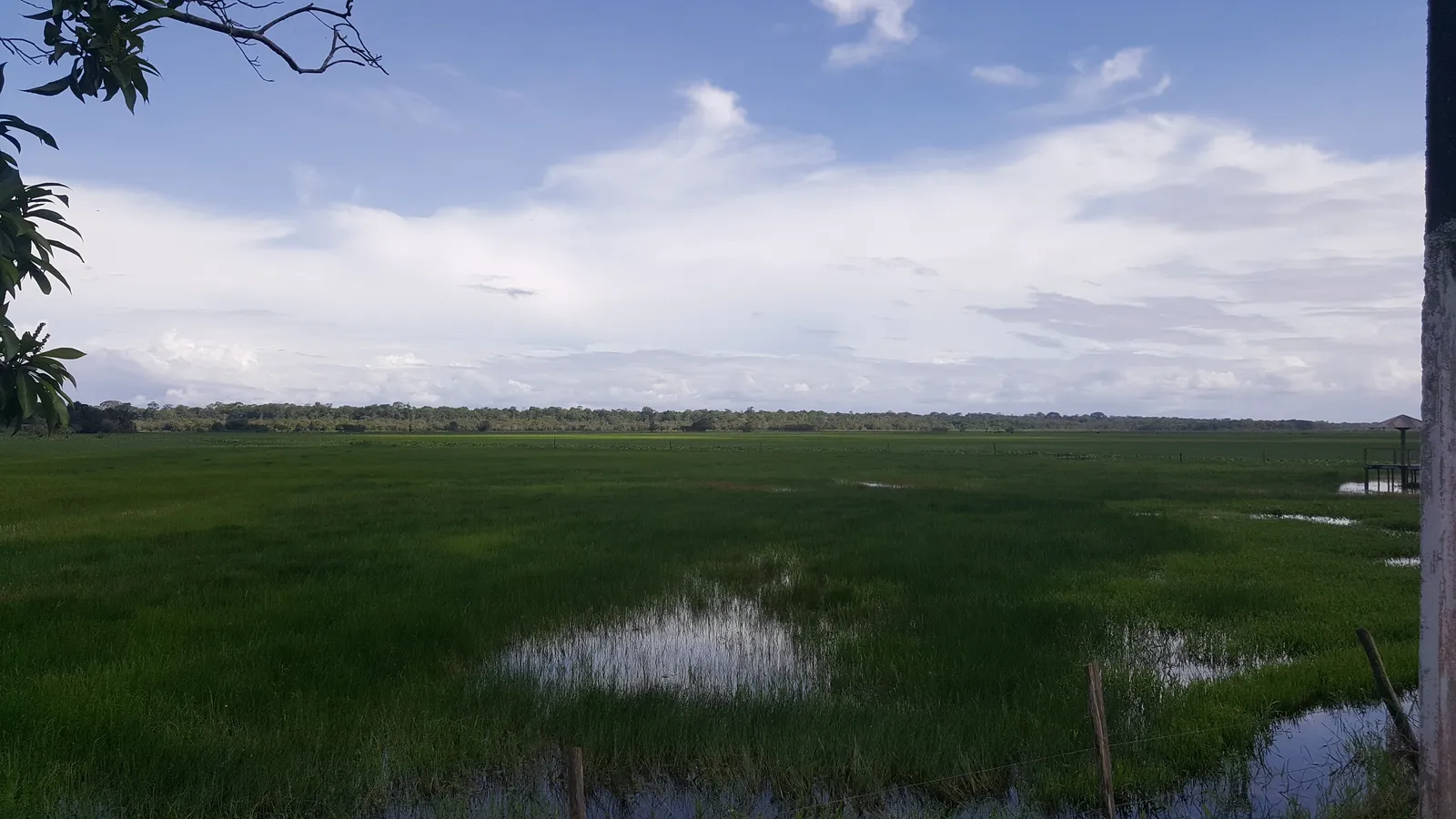
Discover this place
Listen to the story
Automatic reading of the text below in its available language. Offline use requires a voice installed on this device.
Read-aloud requires a compatible browser voice. The full text is available below.
The Rio Curiaú Environmental Protection Area was created by state law on 15 September 1998 to protect its watershed and local ways of life from Macapá's urban expansion. As a sustainable-use protected area, it brings environmental conservation and resident communities into the same territory.
Understand the landscape alongside its quilombola history, rather than as an empty backdrop. Arrange visits with residents and respect boundaries between visitor areas, homes and ceremonial spaces. The protected area and quilombola territories have different legal purposes even where they overlap. Agree in advance before photographing people, joining celebrations or booking activities; the community calendar is not an on-demand attraction.
Sources & information
- Fecomércio AP — APA do Rio Curiaú Accessed on 2026-09-17
- Sema/AP — Gestão e criação da APA do Rio Curiaú Accessed on 2026-09-22
Services in this municipality
These services are in the same municipality. Distance from the attraction depends on the address and route.