Amapá · Brasil
Ferreira Gomes
On the Araguari River, the waterfront, waterfalls and local celebrations shape the visitor experience.
Photos
Select a photo to enlarge it. Captions identify the place and the source.
-
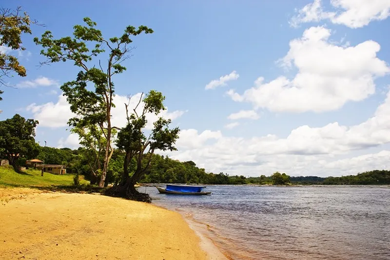
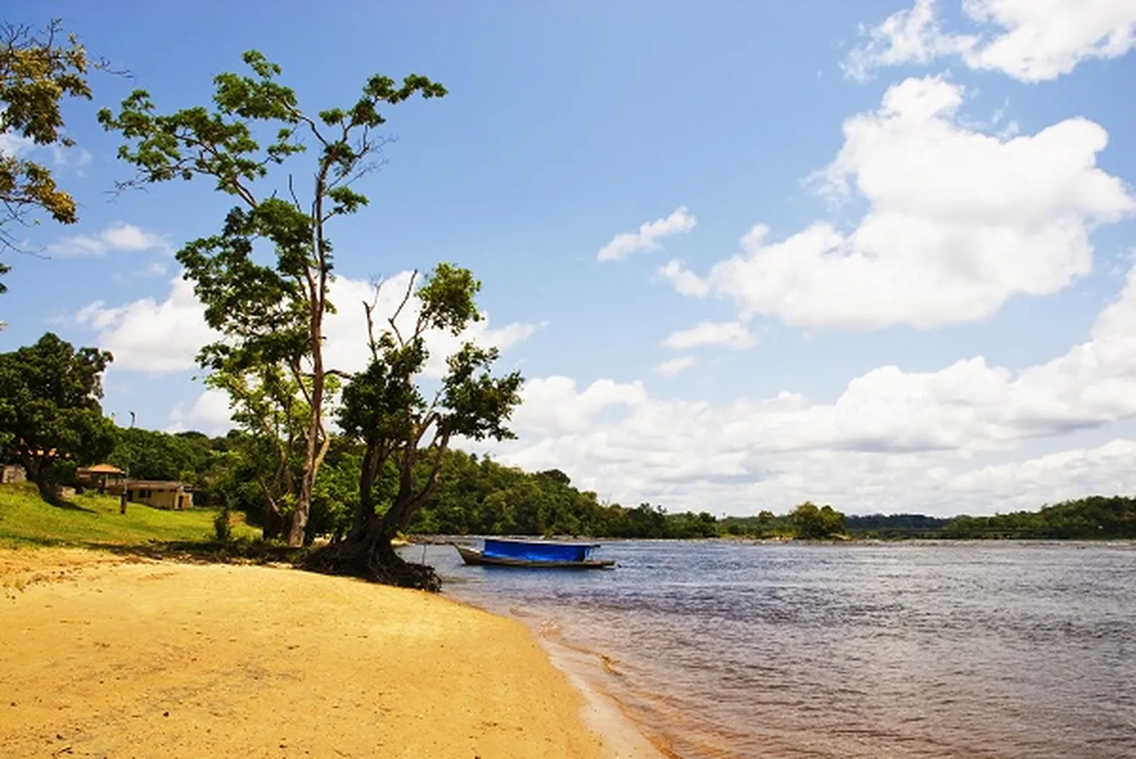
River beach in Ferreira Gomes. Photo: Government of Amapá · CC BY 3.0 — Licence & original
Automatic translation. This text was translated from Portuguese by artificial intelligence and has not yet been reviewed by a person.
Explore
Explore Amapá
Tourist attractions in Ferreira Gomes
-
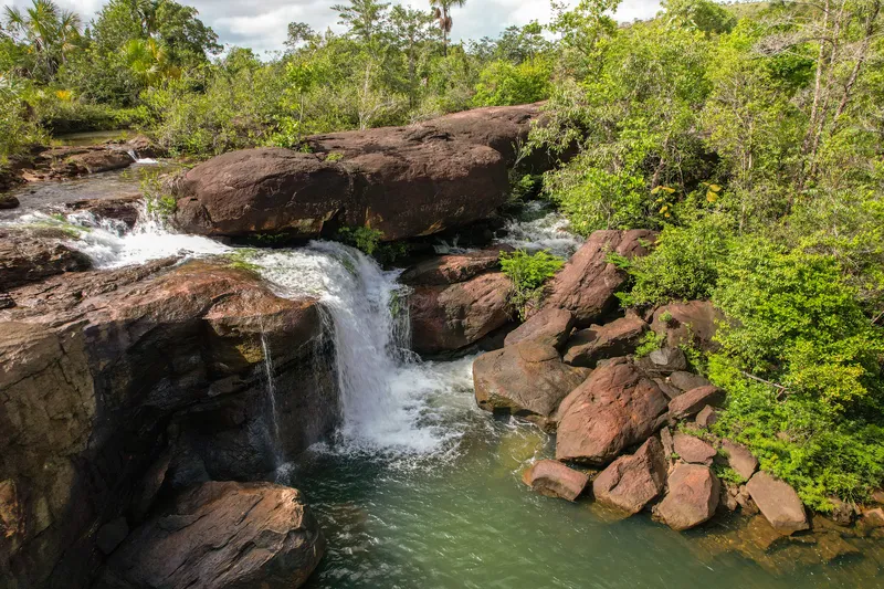 Waterfall
Ferreira Gomes Amapá
Cachoeira do Pium
Waterfall on private property, reached by a side road.
Image credits
Photo: Acervo Fecomércio Amapá / Cetur · Uso autorizado pela Fecomércio AP, titular do portal turismoamapa.com.br (21/10/2026). — Licence & original
-
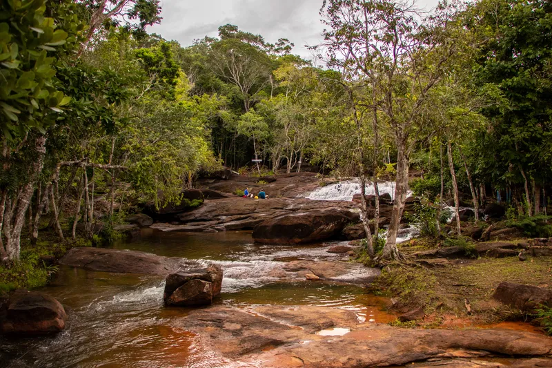 Waterfall
Ferreira Gomes Amapá
Cachoeira do Traíra
Waterfall on private property with leisure facilities.
Image credits
Photo: Acervo Fecomércio Amapá / Cetur · Uso autorizado pela Fecomércio AP, titular do portal turismoamapa.com.br (21/10/2026). — Licence & original
-
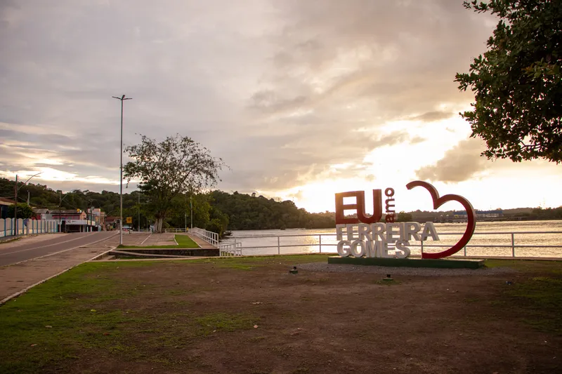 Square and waterfront
Ferreira Gomes Amapá
Orla de Ferreira Gomes
Waterfront in the municipal seat, included in Ferreira Gomes’s tourism inventory.
Image credits
Photo: Acervo Fecomércio Amapá / Cetur · Uso autorizado pela Fecomércio AP, titular do portal turismoamapa.com.br (21/10/2026). — Licence & original
-
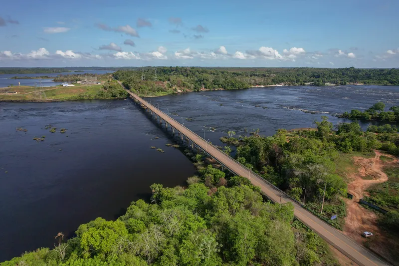 Bridge and landmark
Ferreira Gomes Amapá
Ponte Tancredo Neves
Bridge included in Ferreira Gomes’s tourism inventory.
Image credits
Photo: Acervo Fecomércio Amapá / Cetur · Uso autorizado pela Fecomércio AP, titular do portal turismoamapa.com.br (21/10/2026). — Licence & original
Use offline
Download the pages, photos, ready-made phrases and map of Ferreira Gomes to open them without signal. Everything stays on this device only.
On iPhone, add AXITUR to your Home Screen: Safari may delete what a site downloaded if you have not opened it for 7 days.
Map
On the map
No items with a location in this municipality yet.
History
Listen to the story
Automatic reading of the text below in its available language. Offline use requires a voice installed on this device.
Read-aloud requires a compatible browser voice. The full text is available below.
The Araguari River holds a central place in the history of Ferreira Gomes, a municipality created in 1987 in central Amapá. Its development brings together settlement in the interior, farming and, later, the expansion of power generation. Hydroelectric plants became part of the economy and landscape, also bringing social and environmental changes.
For residents, the Araguari is equally a place for meeting, work and recreation. The waterfront, fishing and family farming reveal relationships with the territory that extend beyond the energy sector. Visiting Ferreira Gomes makes it possible to recognise these different layers: a city connected to its waters, rural production and the changes that major infrastructure projects brought to the river valley.
Local celebrations include Carnaguari, an out-of-season carnival that welcomes visitors from Macapá and other places. Music and social gatherings add another dimension to an Araguari trip; the programme changes with each edition.
In the energy landscape, Coaracy Nunes, also called Paredão, Ferreira Gomes and Cachoeira Caldeirão are separate projects. Ferreira Gomes’s second generating unit received commercial operating authorisation in December 2014. Distinguishing these names helps explain different stages in the river’s transformation, without confusing the power plants’ history with the town’s origins.
Sources & information
- Fecomércio AP — Ferreira Gomes Accessed on 2026-09-22
- Unifap/PDIFF-AP — História, produção e rio Araguari em Ferreira Gomes Accessed on 2026-09-22
- Fecomércio/AP e Cetur/AP — Turismo no Amapá 2024, página PDF 77 Accessed on 2026-09-23
- Prefeitura de Ferreira Gomes — História municipal e Carnaguari Accessed on 2026-09-23
- Alupar — Operação comercial da segunda unidade da UHE Ferreira Gomes, 17/12/2014 Accessed on 2026-09-23
Official data
- IBGE code
- 1600238
- State
- AP
- Estimated population
- 7,220 (2026, IBGE)
- Tourist region
- Tumucumaque e Cachoeiras
- Brazilian Tourism Map
- Yes (2025)