Amapá · Brasil
Pedra Branca do Amapari
Riverside recreation, rapids and inland Amazon landscapes.
Photos
Select a photo to enlarge it. Captions identify the place and the source.
-
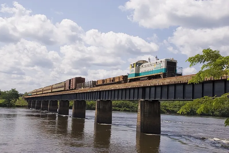
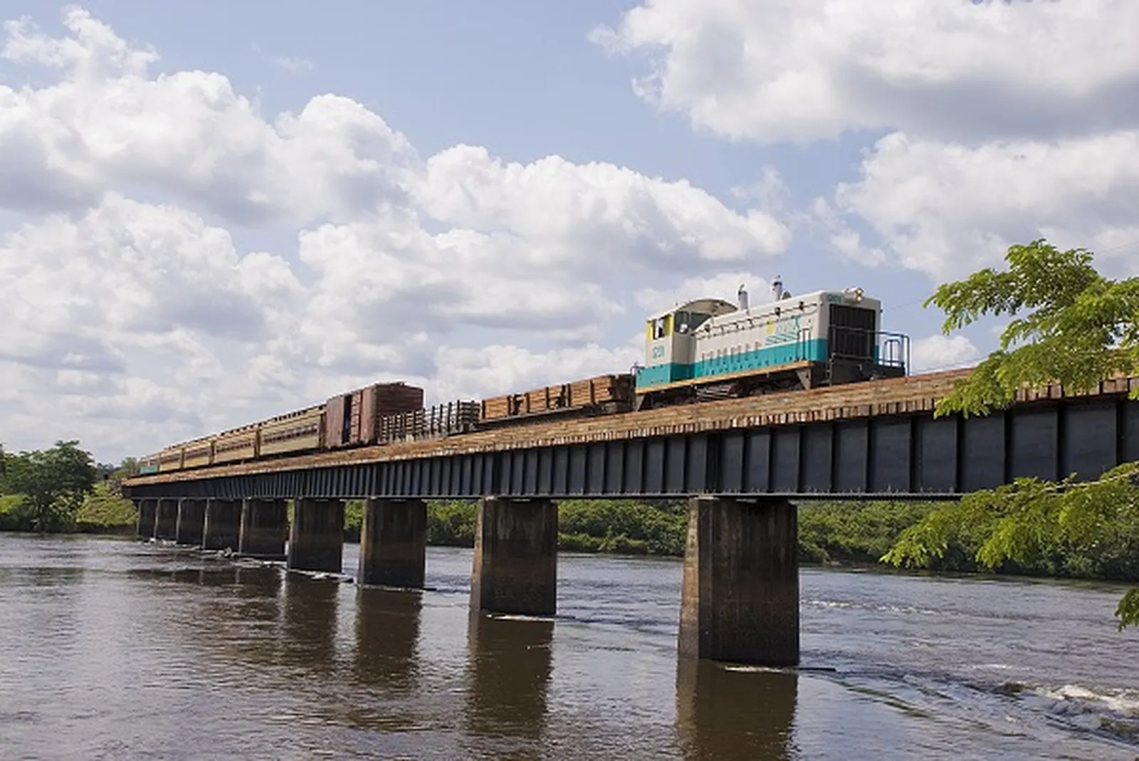
Railway bridge over the Amapari River in Pedra Branca do Amapari. Photo: Government of Amapá · CC BY 3.0 — Licence & original
Automatic translation. This text was translated from Portuguese by artificial intelligence and has not yet been reviewed by a person.
Explore
Explore Amapá
Tourist attractions in Pedra Branca do Amapari
-
 Nature
Pedra Branca do Amapari Amapá
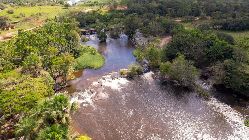
Água Fria Riverside Recreation Area
Nature on the Pedra Branca do Amapari route.
Image credits
Photo: Acervo Fecomércio Amapá / Cetur · Uso autorizado pela Fecomércio AP, titular do portal turismoamapa.com.br (21/10/2026). — Licence & original
-
 Nature
Pedra Branca do Amapari Amapá
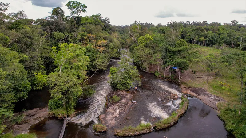
Ilha do Amor Rapids
Rapids known locally as Ilha do Amor.
Image credits
Photo: Acervo Fecomércio Amapá / Cetur · Uso autorizado pela Fecomércio AP, titular do portal turismoamapa.com.br (21/10/2026). — Licence & original
-
 Nature
Pedra Branca do Amapari Amapá
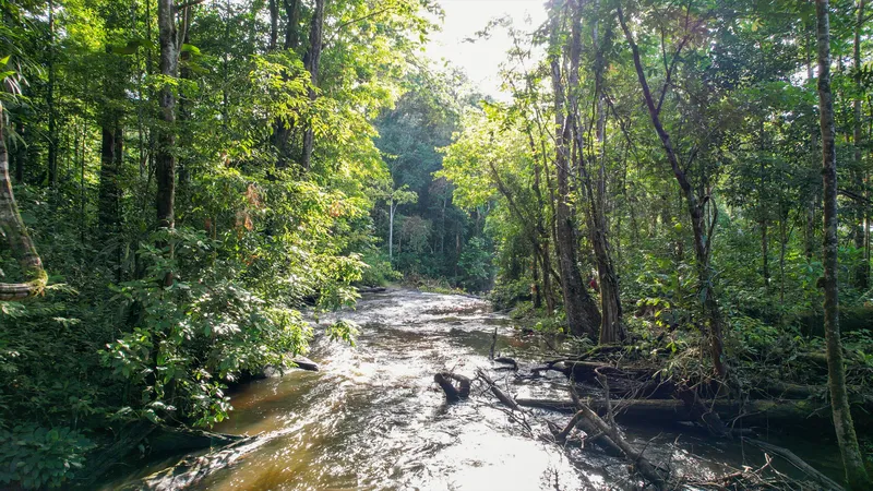
Fumaça Rapids
Rapids and a countryside walk.
Image credits
Photo: Acervo Fecomércio Amapá / Cetur · Uso autorizado pela Fecomércio AP, titular do portal turismoamapa.com.br (21/10/2026). — Licence & original
-
 Square and waterfront
Pedra Branca do Amapari Amapá
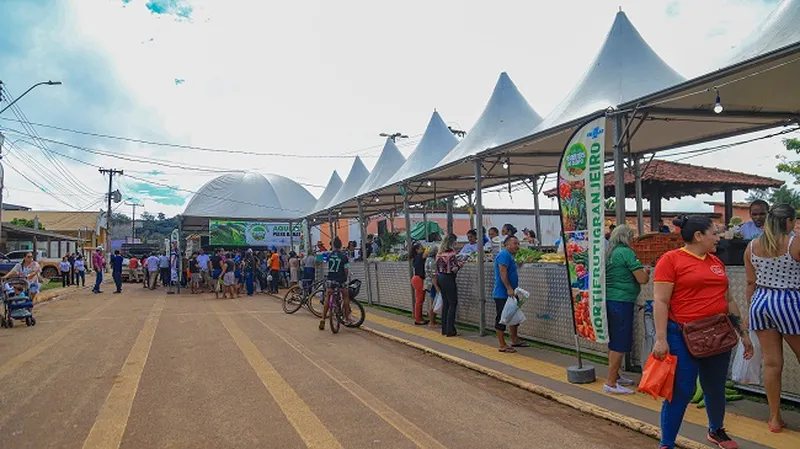
Praça da Juventude
Cultural gatherings in Pedra Branca do Amapari.
Image credits
Photo: Fonte: Ascom / Prefeitura de Pedra Branca do Amapari, via Cleide Freires; fotógrafo não identificado · Licença de reutilização não informada pela fonte; autoria e procedência preservadas. — Licence & original
Use offline
Download the pages, photos, ready-made phrases and map of Pedra Branca do Amapari to open them without signal. Everything stays on this device only.
On iPhone, add AXITUR to your Home Screen: Safari may delete what a site downloaded if you have not opened it for 7 days.
Map
On the map
No items with a location in this municipality yet.
History
Listen to the story
Automatic reading of the text below in its available language. Offline use requires a voice installed on this device.
Read-aloud requires a compatible browser voice. The full text is available below.
Pedra Branca do Amapari, in central Amapá, became a municipality in 1992. Its history is associated with the Amapari River, movement through the interior and mining, particularly the search for gold. Mining cycles attracted residents and influenced economic and urban development, without encompassing the full diversity of experiences across the territory.
Family farming, food production and relationships with the forest form other dimensions of local life. Rivers, rapids and recreation areas bring visitors into contact with this Amazonian landscape. Discovering the municipality means recognising how mining, communities and rural activities coexist, as well as the importance of conserving the environments that sustain these relationships.
Sources & information
- Fecomércio AP — Pedra Branca do Amapari Accessed on 2026-09-22
- Unifap/PDIFF-AP — Formação e atividades econômicas de Pedra Branca do Amapari Accessed on 2026-09-22
Official data
- IBGE code
- 1600154
- State
- AP
- Estimated population
- 13,971 (2026, IBGE)
- Tourist region
- Tumucumaque e Cachoeiras
- Brazilian Tourism Map
- Not verified