Amapá · Brasil
Porto Grande
The Araguari River, rocky landscapes and riverside leisure sites invite visitors to explore nature.
Photos
Select a photo to enlarge it. Captions identify the place and the source.
-
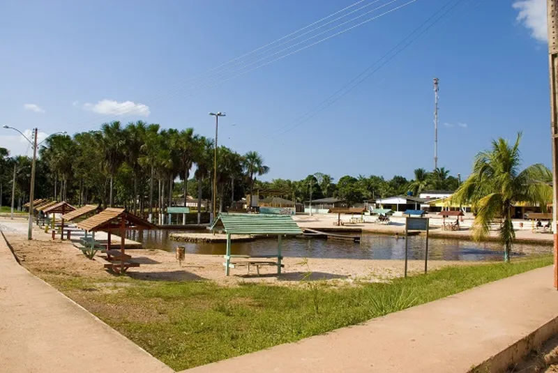
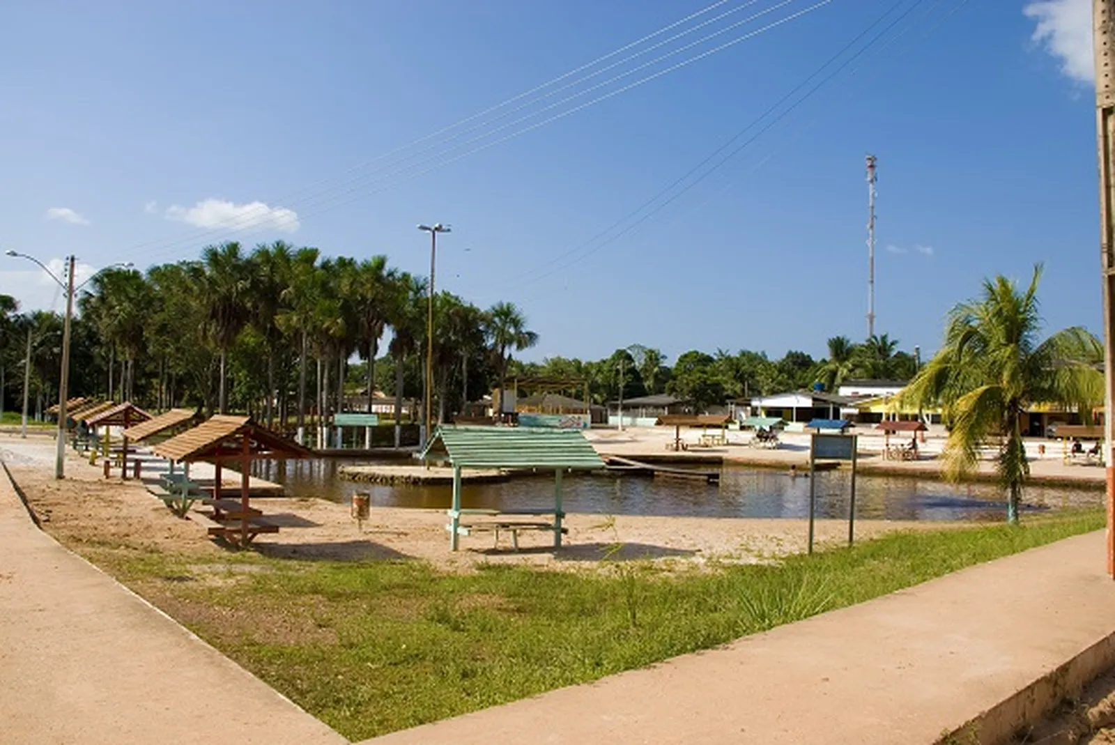
Recreation area with water and shelters in Porto Grande. Photo: Government of Amapá · CC BY 3.0 — Licence & original
Automatic translation. This text was translated from Portuguese by artificial intelligence and has not yet been reviewed by a person.
Explore
Explore Amapá
Tourist attractions in Porto Grande
-
 Nature
Porto Grande Amapá
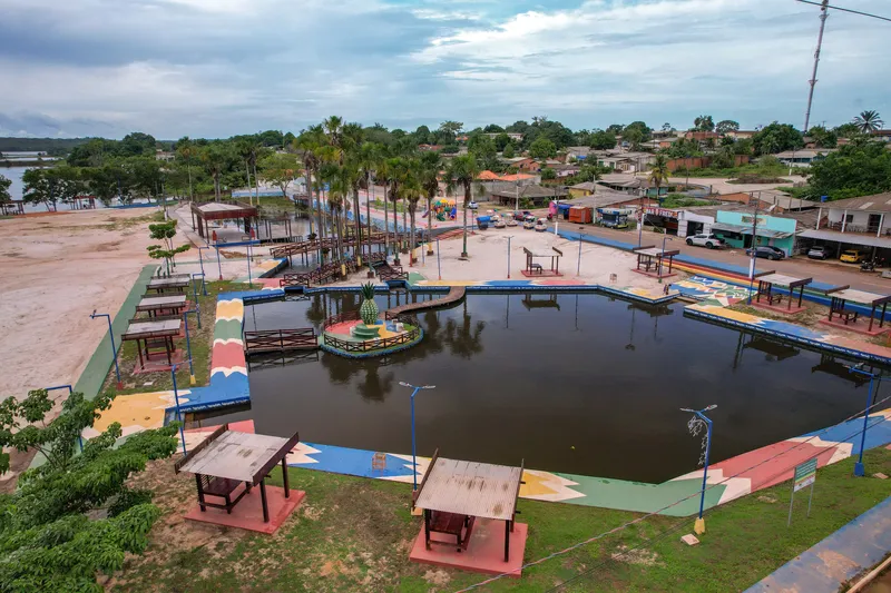
Balneário da Cidade de Porto Grande
Urban leisure site included in Porto Grande’s tourism inventory.
Image credits
Photo: Acervo Fecomércio Amapá / Cetur · Uso autorizado pela Fecomércio AP, titular do portal turismoamapa.com.br (21/10/2026). — Licence & original
-
 Nature
Porto Grande Amapá
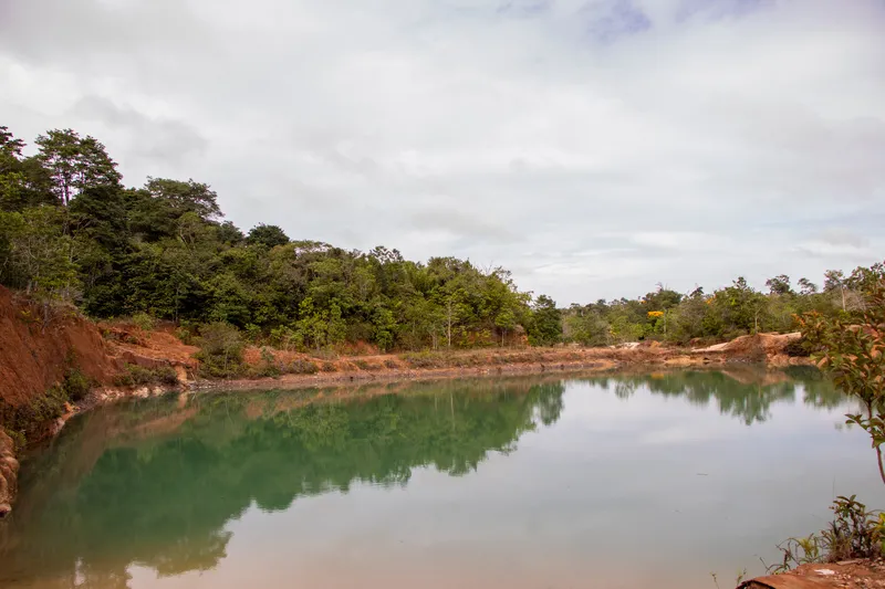
Barranco do Geraldão
Natural attraction listed in Porto Grande’s tourism inventory.
Image credits
Photo: Acervo Fecomércio Amapá / Cetur · Uso autorizado pela Fecomércio AP, titular do portal turismoamapa.com.br (21/10/2026). — Licence & original
-
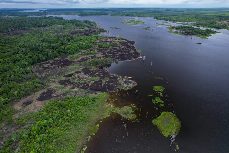 Nature
Porto Grande Amapá
Cidade das Pedras
Natural destination reached by boat on the Araguari River from Porto Grande’s waterfront.
Image credits
Photo: Acervo Fecomércio Amapá / Cetur · Uso autorizado pela Fecomércio AP, titular do portal turismoamapa.com.br (21/10/2026). — Licence & original
-
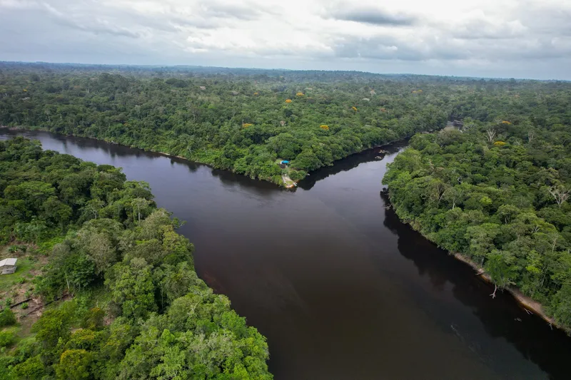 Park and protected area
Porto Grande Amapá
Amapá National Forest — access via Porto Grande
Rivers, forest and encounters with riverine communities in a federal protected area.
Image credits
Photo: Acervo Fecomércio Amapá / Cetur · Uso autorizado pela Fecomércio AP, titular do portal turismoamapa.com.br (21/10/2026). — Licence & original
-
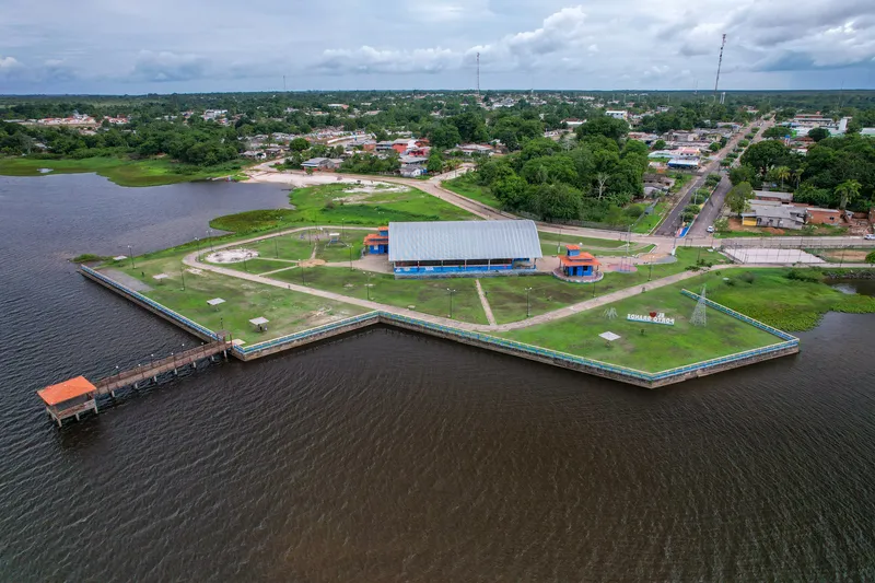 Square and waterfront
Porto Grande Amapá
Orla de Porto Grande
Urban waterfront serving as a departure reference for Araguari River outings.
Image credits
Photo: Acervo Fecomércio Amapá / Cetur · Uso autorizado pela Fecomércio AP, titular do portal turismoamapa.com.br (21/10/2026). — Licence & original
Use offline
Download the pages, photos, ready-made phrases and map of Porto Grande to open them without signal. Everything stays on this device only.
On iPhone, add AXITUR to your Home Screen: Safari may delete what a site downloaded if you have not opened it for 7 days.
Map
On the map
No items with a location in this municipality yet.
History
Listen to the story
Automatic reading of the text below in its available language. Offline use requires a voice installed on this device.
Read-aloud requires a compatible browser voice. The full text is available below.
Porto Grande, in central Amapá, has a history linked to farming and the movement of produce from the interior. Before becoming a municipality in 1992, it was part of Macapá; its administrative district had been created in 1951. Pineapple, orange and maize cultivation help explain the rural identity that accompanies the growth of its urban centre.
The Pineapple Festival turns this agricultural connection into a celebration and a meeting place for residents and visitors. Rivers, bathing areas and rock formations form another dimension of the municipal landscape. Between agricultural production and waterside recreation, Porto Grande offers a view of inland Amapá shaped by farm work and the relationship with nature.
Sources & information
- Fecomércio AP — Porto Grande Accessed on 2026-09-22
- AMEAP — História e formação administrativa de Porto Grande Accessed on 2026-09-22
Official data
- IBGE code
- 1600535
- State
- AP
- Estimated population
- 19,103 (2026, IBGE)
- Brazilian Tourism Map
- Yes (2025)