Amapá · Brasil
Tartarugalzinho
A BR-156 stop to discover squares, waterfront and nature.
Photos
Select a photo to enlarge it. Captions identify the place and the source.
-
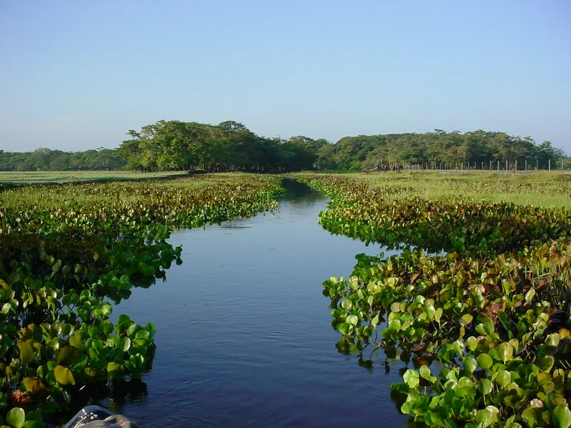
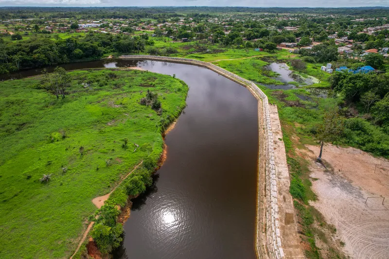
Euzébio stream in the municipality of Tartarugalzinho. Photo: ROGERIO CARDOSO · CC BY-SA 3.0 — Licence & original
Automatic translation. This text was translated from Portuguese by artificial intelligence and has not yet been reviewed by a person.
Explore
Explore Amapá
Tourist attractions in Tartarugalzinho
-
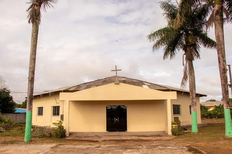 Church
Tartarugalzinho Amapá
Nossa Senhora do Perpétuo Socorro Church
Religious heritage in Tartarugalzinho.
Image credits
Photo: Acervo Fecomércio Amapá / Cetur · Uso autorizado pela Fecomércio AP, titular do portal turismoamapa.com.br (21/10/2026). — Licence & original
-
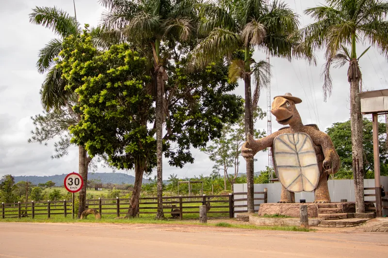 Monument
Tartarugalzinho Amapá
Turtle Monument
The turtle marking the entrance to town.
Image credits
Photo: Acervo Fecomércio Amapá / Cetur · Uso autorizado pela Fecomércio AP, titular do portal turismoamapa.com.br (21/10/2026). — Licence & original
-
 Square and waterfront
Tartarugalzinho Amapá
Tartarugalzinho Waterfront
Where the town meets its riverside landscape.
Image credits
Photo: Acervo Fecomércio Amapá / Cetur · Uso autorizado pela Fecomércio AP, titular do portal turismoamapa.com.br (21/10/2026). — Licence & original
-
TartarugalzinhoSquare and waterfrontTartarugalzinho Amapá
Melquizedeque Corrêa Nunes Sports Square
Sport and community life in Airton Senna.
-
 Square and waterfront
Tartarugalzinho Amapá
Saturnino dos Santos Square
A meeting place in Tartarugalzinho.
Image credits
Photo: Fonte: Alyne Kaiser; fotógrafo não identificado na publicação · Licença de reutilização não informada pela fonte; autoria e procedência preservadas. — Licence & original
Use offline
Download the pages, photos, ready-made phrases and map of Tartarugalzinho to open them without signal. Everything stays on this device only.
On iPhone, add AXITUR to your Home Screen: Safari may delete what a site downloaded if you have not opened it for 7 days.
Map
On the map
No items with a location in this municipality yet.
History
Listen to the story
Automatic reading of the text below in its available language. Offline use requires a voice installed on this device.
Read-aloud requires a compatible browser voice. The full text is available below.
Tartarugalzinho became a municipality in 1987, and part of its history is linked to travel along the BR-156 highway. The town’s position on this road encouraged trade and the provision of food, fuel and other services for residents and travellers. This role as a stopping point coexists with local life tied to rural production and waterways.
Cattle and buffalo raising, cassava and orange cultivation, and artisanal fishing are important features of the municipal economy. The waterfront and community spaces offer ways to discover a town that also serves as a meeting place for its surroundings. Beyond a roadside stop, the municipality reveals relationships between farm work, trade and the natural landscapes of inland Amapá.
Sources & information
- Fecomércio AP — História, BR-156 e atividades produtivas de Tartarugalzinho Accessed on 2026-09-22
Official data
- IBGE code
- 1600709
- State
- AP
- Estimated population
- 13,846 (2026, IBGE)
- Brazilian Tourism Map
- Yes (2025)