Tourist attractions in Itaubal
Square and waterfront
Orla de Itaubal do Piririm
Itaubal, AP
Riverside area listed in Itaubal’s tourism inventory.
Automatic translation. This text was translated from Portuguese by artificial intelligence and has not yet been reviewed by a person.
Searches for this place by name on Google Maps. Check the result and access before starting your journey.
Getting here and around · Itaubal ↗
Photos
Select a photo to enlarge it. Captions identify the place and the source.
-
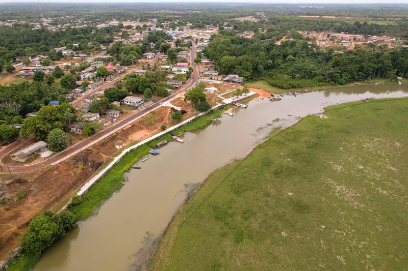
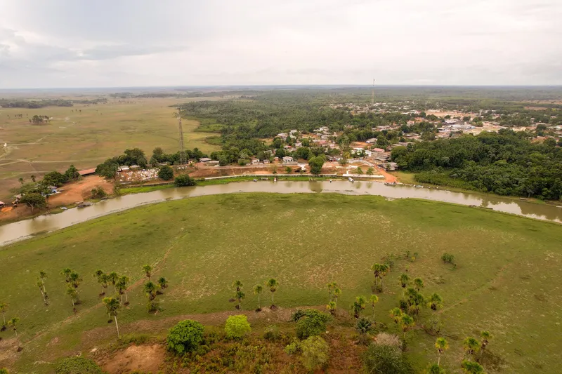
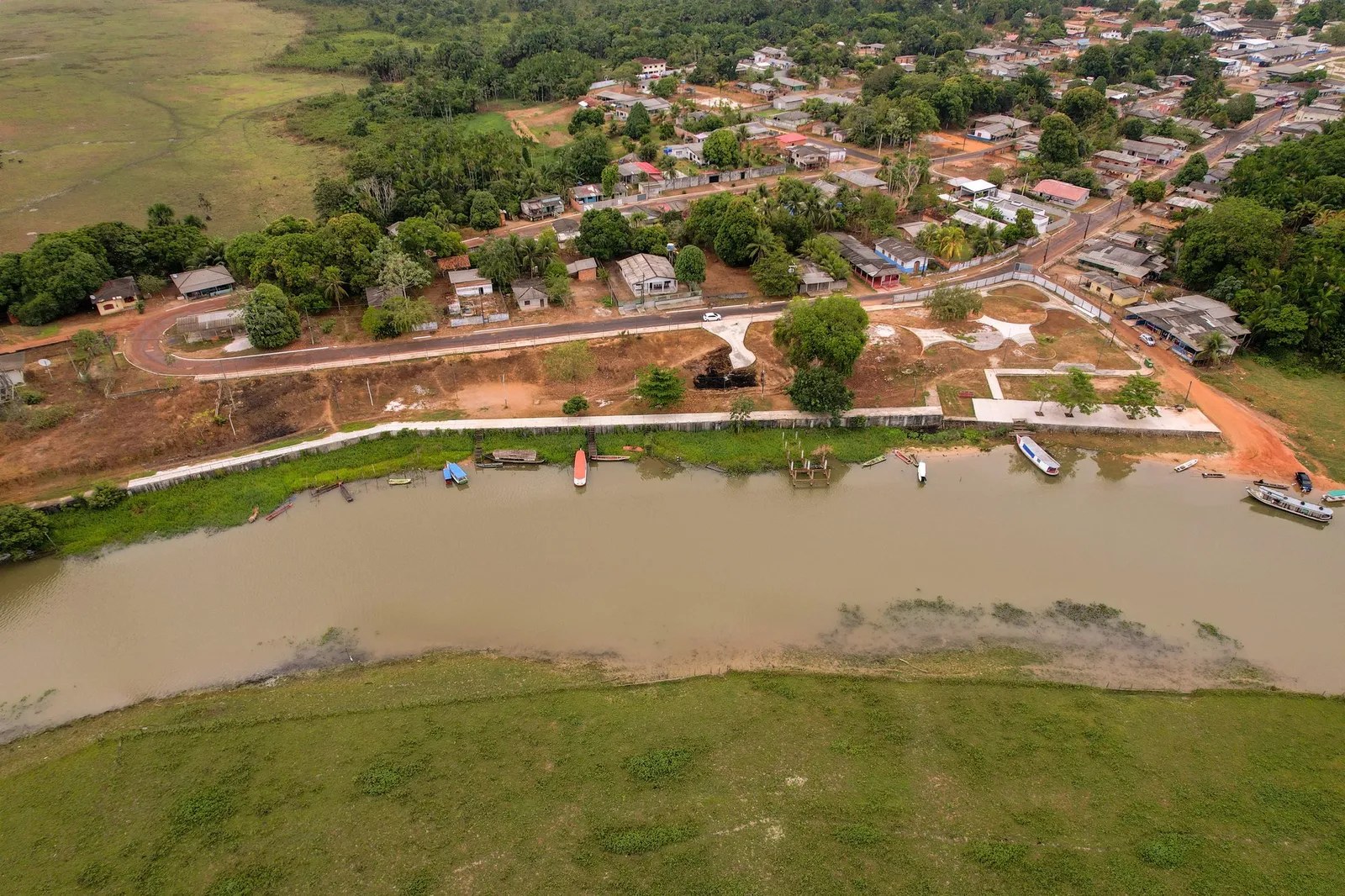
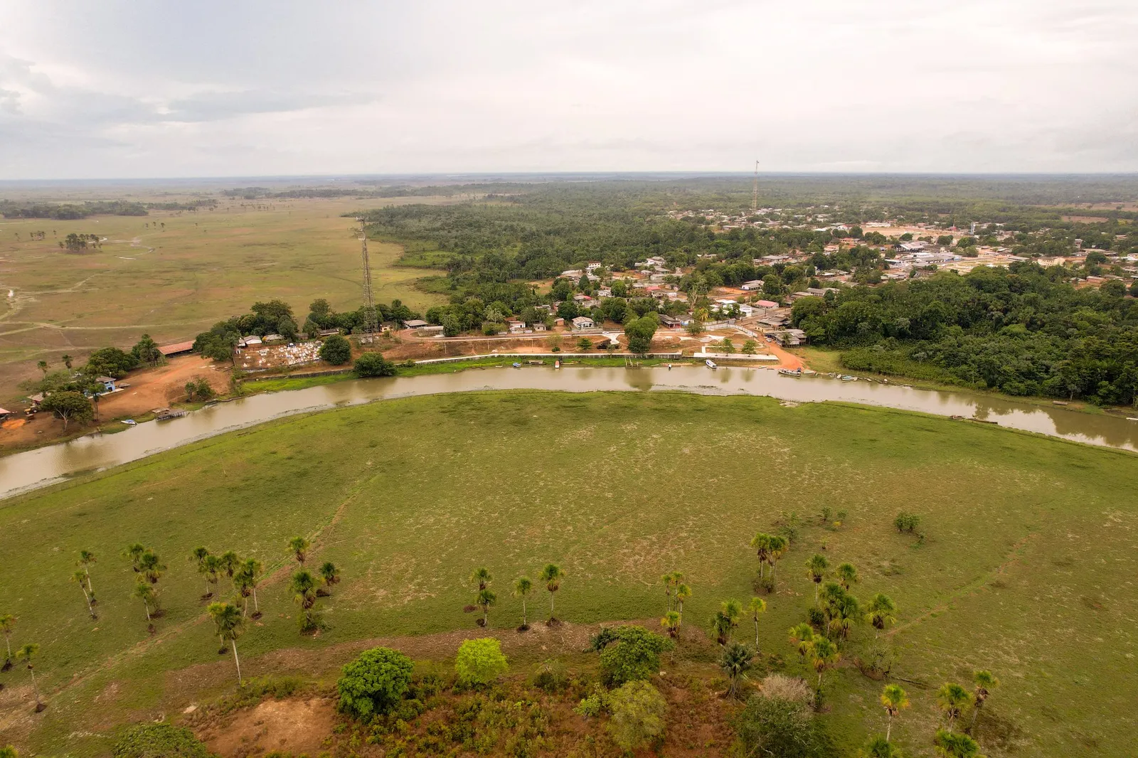
Aerial view of Orla de Itaubal do Piririm, Itaubal. Photograph dated 2023 in the original metadata. Photo: Acervo Fecomércio Amapá / Cetur · Uso autorizado pela Fecomércio AP, titular do portal turismoamapa.com.br (21/10/2026). — Licence & original -
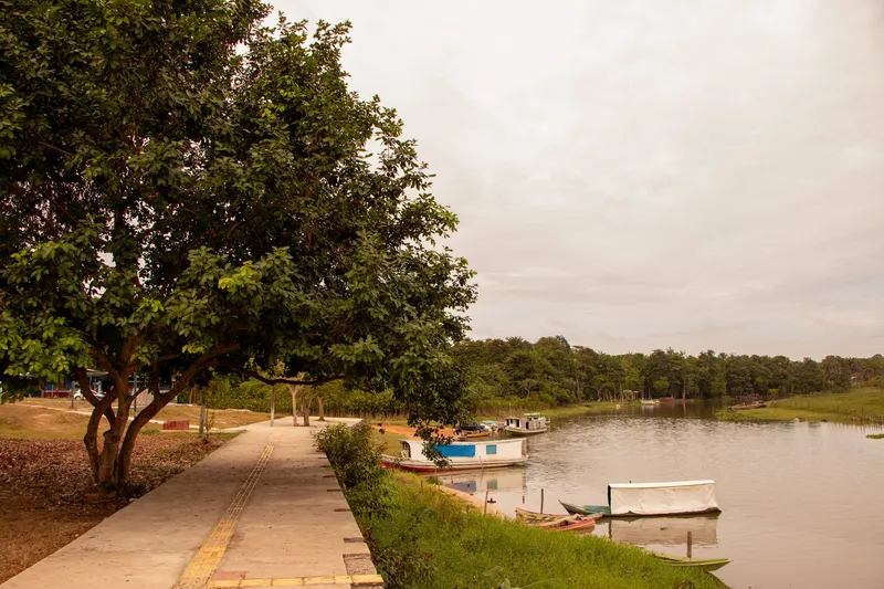
Contemporary record Orla de Itaubal do Piririm: Fecomércio Amapá collection, photographed in November 2023. Photo: Acervo Fecomércio Amapá / Cetur · Uso autorizado pela Fecomércio AP, titular do portal turismoamapa.com.br (21/10/2026). — Licence & original -
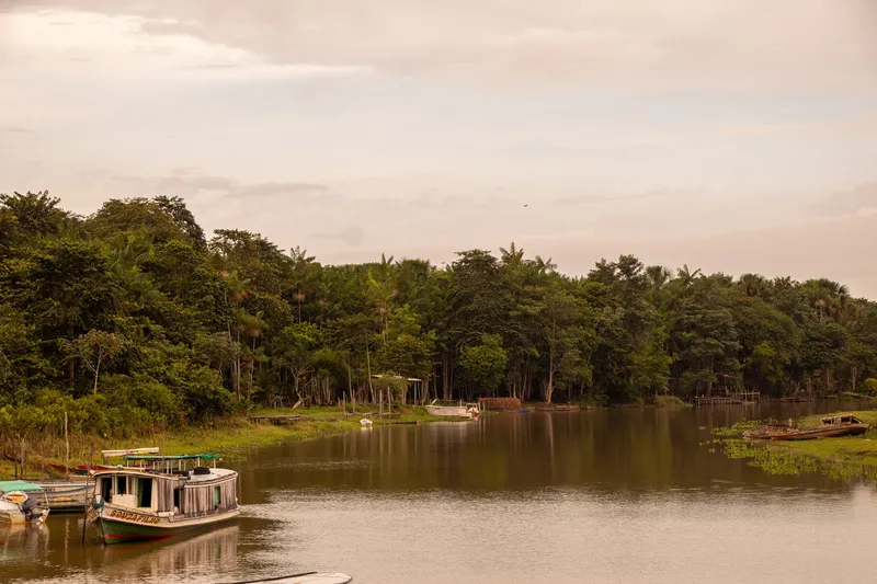
Contemporary record Orla de Itaubal do Piririm: Fecomércio Amapá collection, photographed in November 2023. Photo: Acervo Fecomércio Amapá / Cetur · Uso autorizado pela Fecomércio AP, titular do portal turismoamapa.com.br (21/10/2026). — Licence & original -
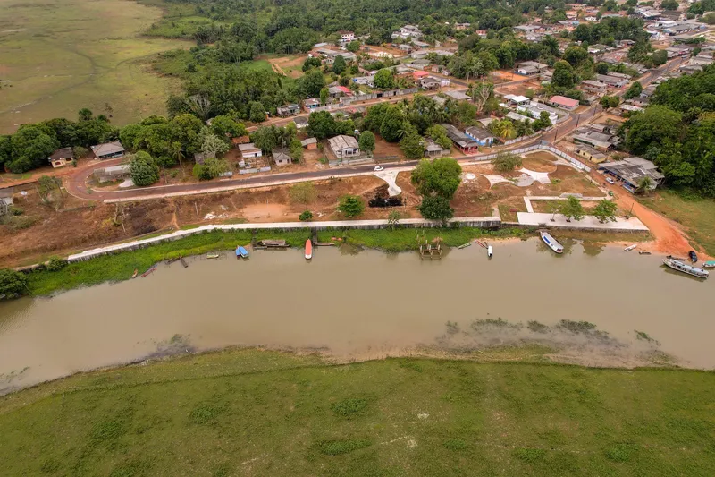
Contemporary record Orla de Itaubal do Piririm: Fecomércio Amapá collection, photographed in November 2023. Photo: Acervo Fecomércio Amapá / Cetur · Uso autorizado pela Fecomércio AP, titular do portal turismoamapa.com.br (21/10/2026). — Licence & original -
Contemporary record Orla de Itaubal do Piririm: Fecomércio Amapá collection, photographed in November 2023. Photo: Acervo Fecomércio Amapá / Cetur · Uso autorizado pela Fecomércio AP, titular do portal turismoamapa.com.br (21/10/2026). — Licence & original
Discover this place
Listen to the story
Automatic reading of the text below in its available language. Offline use requires a voice installed on this device.
Read-aloud requires a compatible browser voice. The full text is available below.
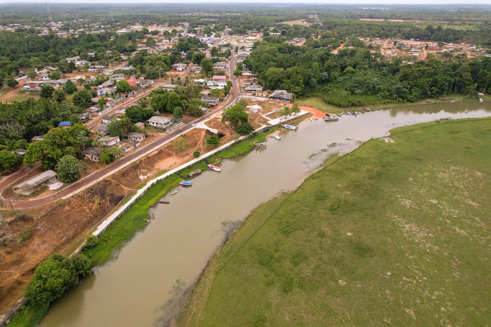
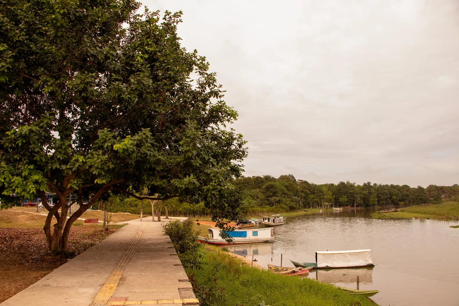
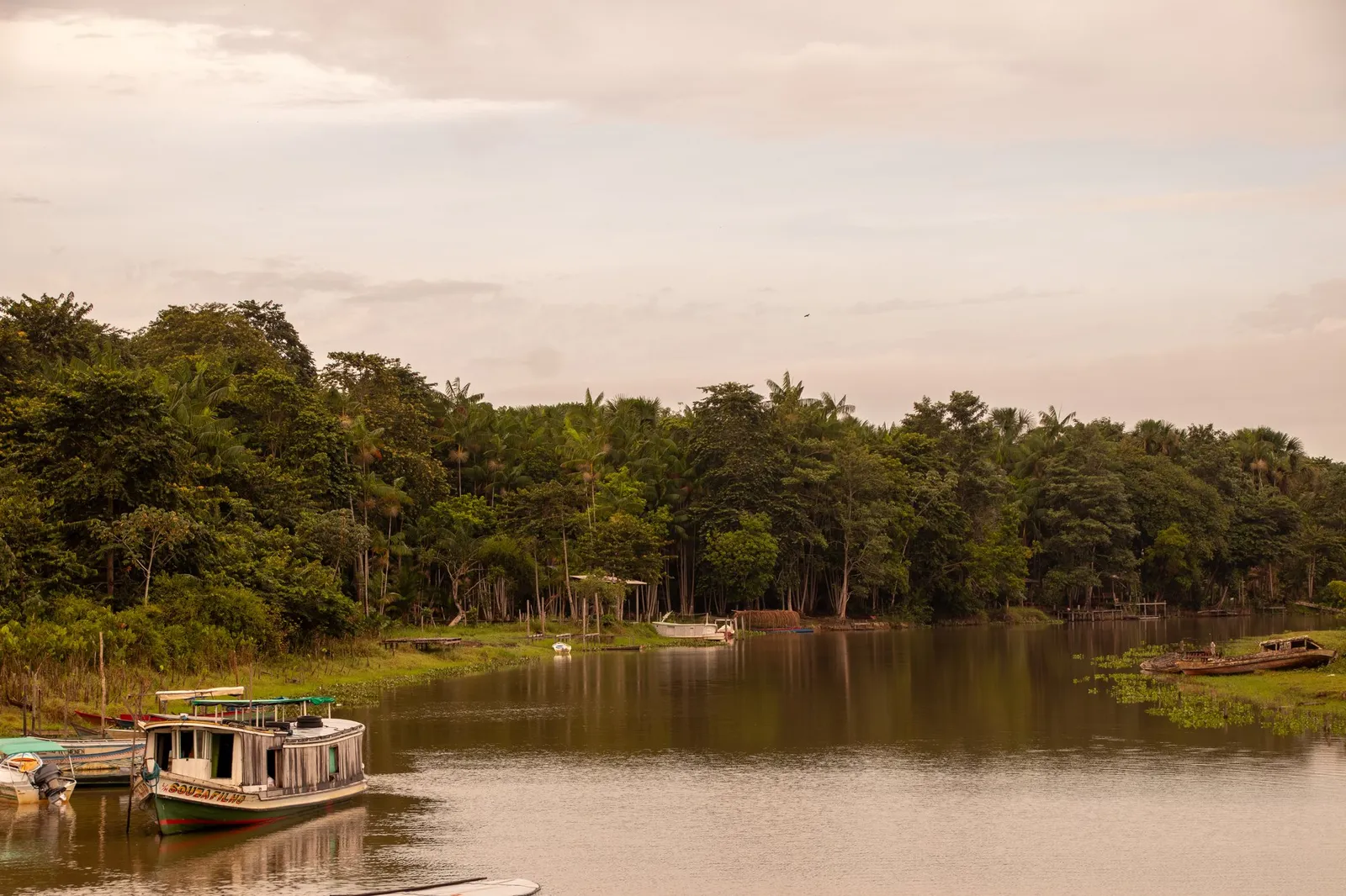
On the Itaubal waterfront, the Piririm River dominates the view. Tourism inventory photographs show the river bend, boats and the urban strip beside the water. A visit offers an opportunity to observe how the town meets the waterway, paying attention to the different uses of the bank.
The 2022 Municipal Management Report records a Calha Norte programme agreement for improvements to the Piririm waterfront on Rua São Benedito. The document establishes that the intervention was planned, without giving a completion date for the entire waterfront. Before walking, check which sections are open; for a boat trip, arrange the route and return with a local operator, treating a riverside walk and a journey on the water as separate activities.
Sources & information
- Fecomércio AP — Orla de Itaubal do Piririm Accessed on 2026-09-22
- Prefeitura de Itaubal — Relatório de Gestão Municipal 2022, convênio 893886/2019 para a orla do Piririm Accessed on 2026-09-22