Amapá · Brasil
Itaubal
Riverside communities, leisure sites and devotion to São Benedito define the municipality.
Photos
Select a photo to enlarge it. Captions identify the place and the source.
-
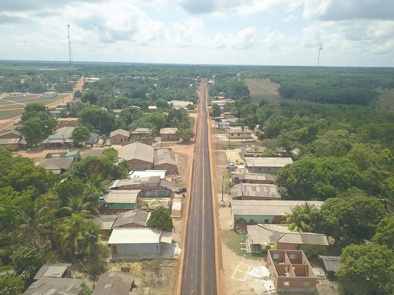
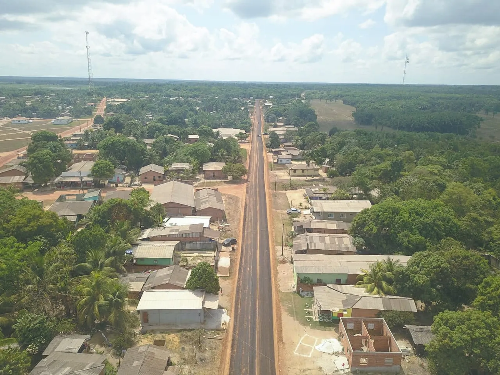
Aerial view of Itaubal. Photo: Philippe Gomes/Secom · CC BY 3.0 — Licence & original
Automatic translation. This text was translated from Portuguese by artificial intelligence and has not yet been reviewed by a person.
Explore
Explore Amapá
Tourist attractions in Itaubal
-
 Nature
Itaubal Amapá
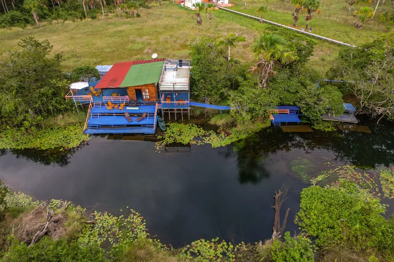
Balneário Bom Jesus
Private leisure site associated with a guesthouse in Curicaca, on the Macacoari River.
Image credits
Photo: Acervo Fecomércio Amapá / Cetur · Uso autorizado pela Fecomércio AP, titular do portal turismoamapa.com.br (21/10/2026). — Licence & original
-
 Nature
Itaubal Amapá
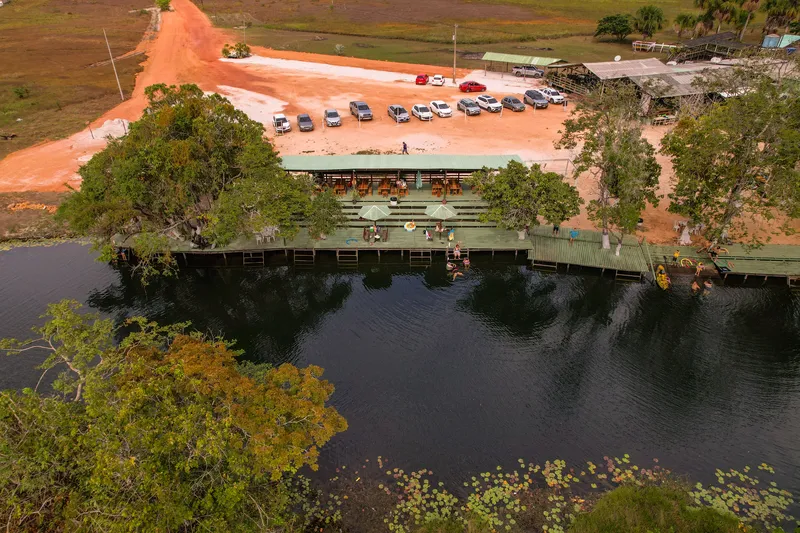
Balneário Recanto da Celina
Leisure site in the Curicaca community, Itaubal.
Image credits
Photo: Acervo Fecomércio Amapá / Cetur · Uso autorizado pela Fecomércio AP, titular do portal turismoamapa.com.br (21/10/2026). — Licence & original
-
 Church
Itaubal Amapá
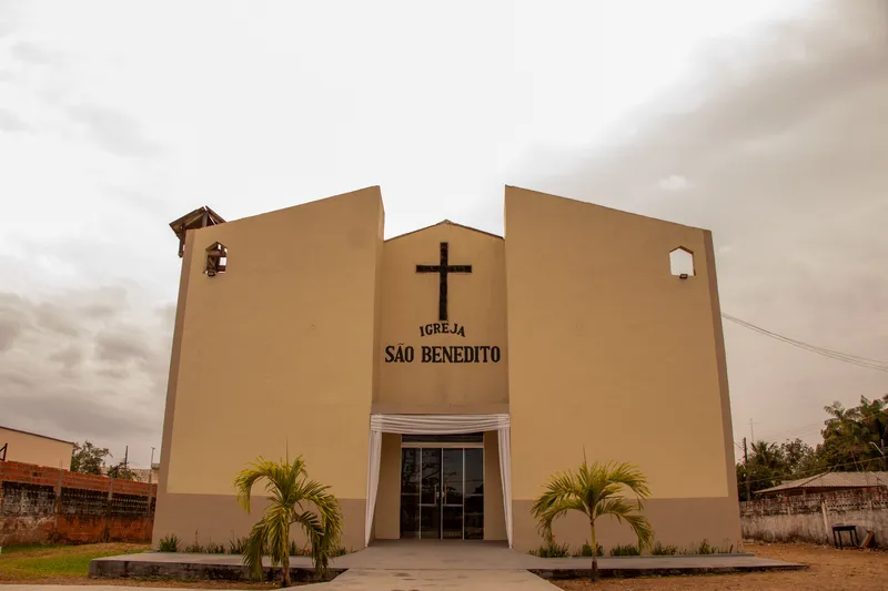
Igreja São Benedito de Itaubal
Church associated with devotion to São Benedito in Itaubal.
Image credits
Photo: Acervo Fecomércio Amapá / Cetur · Uso autorizado pela Fecomércio AP, titular do portal turismoamapa.com.br (21/10/2026). — Licence & original
-
 Square and waterfront
Itaubal Amapá
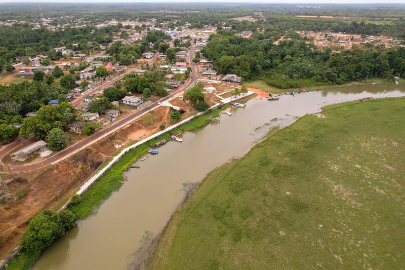
Orla de Itaubal do Piririm
Riverside area listed in Itaubal’s tourism inventory.
Image credits
Photo: Acervo Fecomércio Amapá / Cetur · Uso autorizado pela Fecomércio AP, titular do portal turismoamapa.com.br (21/10/2026). — Licence & original
-
 Nature
Itaubal Amapá
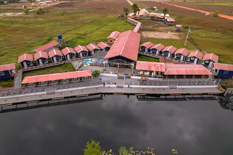
Paraíso da Sereia
Leisure attraction in the Curicaca community, Itaubal.
Image credits
Photo: Acervo Fecomércio Amapá / Cetur · Uso autorizado pela Fecomércio AP, titular do portal turismoamapa.com.br (21/10/2026). — Licence & original
-
 Square and waterfront
Itaubal Amapá
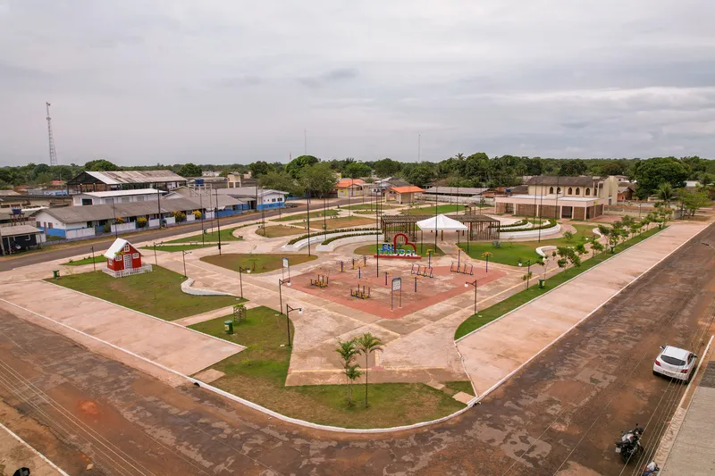
Praça de Itaubal do Piririm
Square listed in Itaubal’s tourism inventory.
Image credits
Photo: Acervo Fecomércio Amapá / Cetur · Uso autorizado pela Fecomércio AP, titular do portal turismoamapa.com.br (21/10/2026). — Licence & original
Use offline
Download the pages, photos, ready-made phrases and map of Itaubal to open them without signal. Everything stays on this device only.
On iPhone, add AXITUR to your Home Screen: Safari may delete what a site downloaded if you have not opened it for 7 days.
Map
On the map
History
Listen to the story
Automatic reading of the text below in its available language. Offline use requires a voice installed on this device.
Read-aloud requires a compatible browser voice. The full text is available below.
Itaubal, also known as Itaubal do Piririm, became a municipality in 1992. Located in eastern Amapá, facing the Amazon River, it includes an urban centre and several rural and riverside communities, among them Carmo do Macacoari and Foz do Macacoari. This settlement pattern helps explain a history built through relationships between communities, rivers and areas of agricultural production.
Farming, livestock raising and artisanal fishing are part of the local economy and food supply. Devotion to São Benedito brings residents and visitors together for traditional celebrations. Discovering Itaubal means becoming acquainted with everyday life in which waterways, agricultural knowledge and community ties are important references for municipal identity.
Sources & information
- Fecomércio AP — Itaubal Accessed on 2026-09-22
- Prefeitura de Itaubal — História, comunidades e cultura Accessed on 2026-09-22
Official data
- IBGE code
- 1600253
- State
- AP
- Estimated population
- 6,147 (2026, IBGE)
- Brazilian Tourism Map
- Yes (2025)