Tourist attractions in Pracuúba
Nature
Pracuúba Lake Region
Pracuúba, AP
Landscapes changing with floods and dry periods.
Automatic translation. This text was translated from Portuguese by artificial intelligence and has not yet been reviewed by a person.
Searches for this place by name on Google Maps. Check the result and access before starting your journey.
Getting here and around · Pracuúba ↗
Photos
Select a photo to enlarge it. Captions identify the place and the source.
-
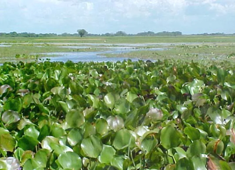
Date not documented Lake Pracuúba: IEPA documentary record, figure 11. Photograph date not stated. Photo: Fonte: IEPA / PROBIO; fotógrafo não identificado no capítulo · Licença de reutilização não informada pela fonte; autoria e procedência preservadas. — Licence & original
What the images tell us
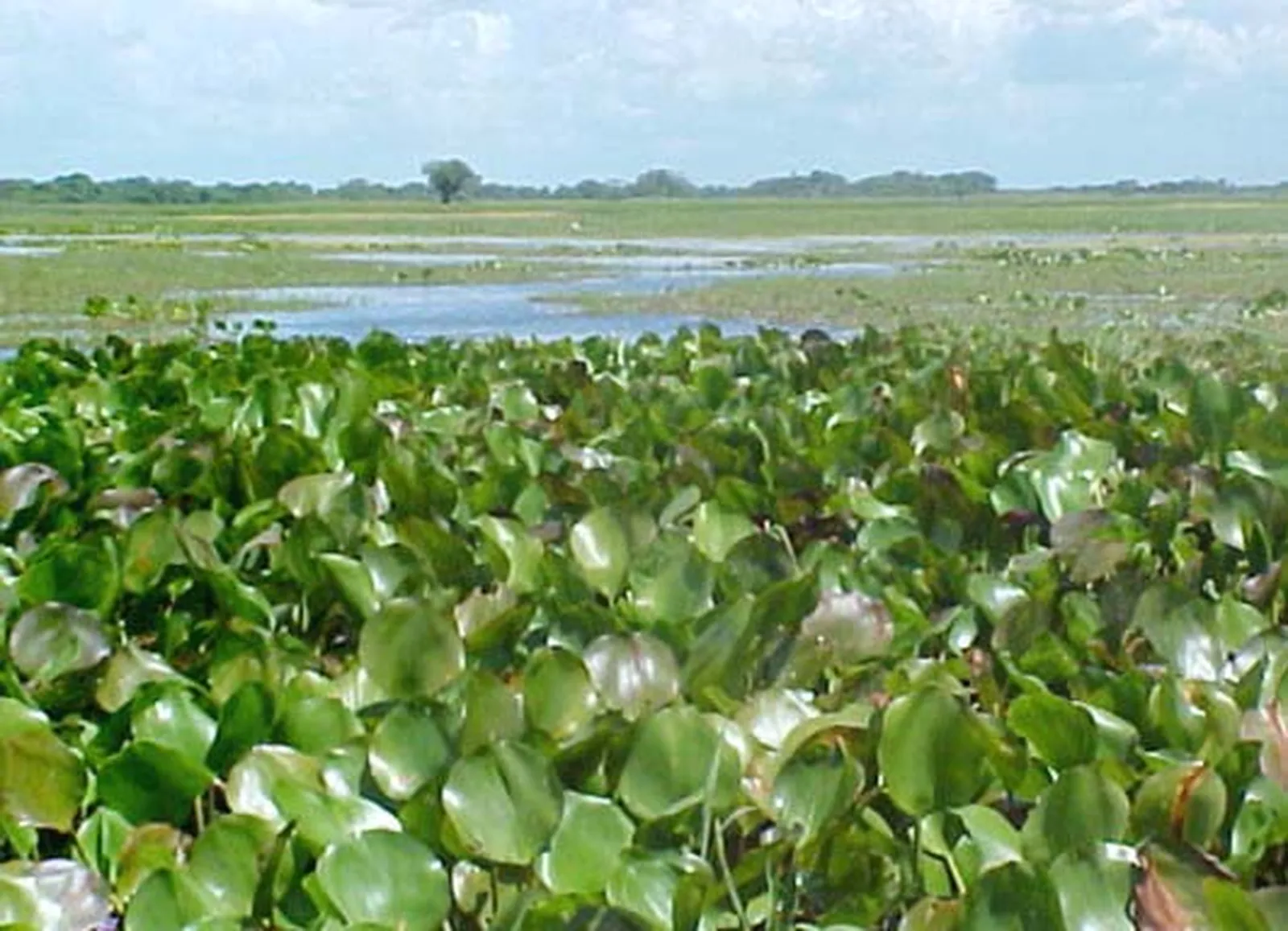
IEPA identifies this record as Lake Pracuúba. The research describes floating vegetation islands that alter channels; the photograph does not establish current visitor conditions.
Image dates and context are shown when documented. Photographs from different periods may show different viewpoints.
Sources for this guidance
- IEPA — Vegetação das áreas Sucuriju e Região dos Lagos, figura 11, p. 57 ↗Accessed on 2026-09-23
Discover this place
Listen to the story
Automatic reading of the text below in its available language. Offline use requires a voice installed on this device.
Read-aloud requires a compatible browser voice. The full text is available below.
Pracuúba’s lake region is shaped by alternating flooding and lower water levels. Lakes, open fields and waterbirds form part of this environment. Plan a route through the region rather than expecting one park with a central entrance.
Observe how water organises the landscape and ask local guides which stretches can be travelled at your visiting season. A route used in a drier period may be unavailable during rains. Respect property boundaries and keep your distance from animals, avoiding noise or approaches that change their behaviour. This listing does not guarantee encounters with particular species.
Nesting colonies, where waterbirds gather to breed, are another feature of this landscape. Beyond looking for a single photograph, take time to watch movement between vegetation and water, with local guidance when available. Keeping an observation distance is part of the experience: it lets you discover the environment without entering breeding areas.
Sources & information
- Prefeitura de Pracuúba — Região dos Lagos Accessed on 2026-09-17
- UNIFAP — Pracuúba: paisagem, comunidades e patrimônio turístico Accessed on 2026-09-22
- Universidade de Brasília — turismo no Amapá: Região dos Lagos de Pracuúba (2009) Accessed on 2026-09-22
- Fecomércio/AP e Cetur/AP — Turismo no Amapá 2024, página PDF 36 Accessed on 2026-09-23