Amapá · Brasil
Pracuúba
Lakes, waterbirds and small-scale fishing traditions.
Photos
Select a photo to enlarge it. Captions identify the place and the source.
-
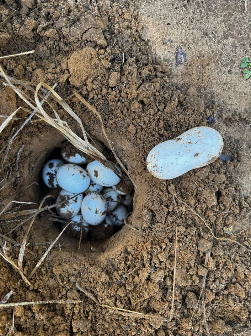
Turtle nest monitored by Ibama in Pracuúba. Photo: Nayara Araujo da Silva / Ibama · CC BY-SA 2.0 — Licence & original
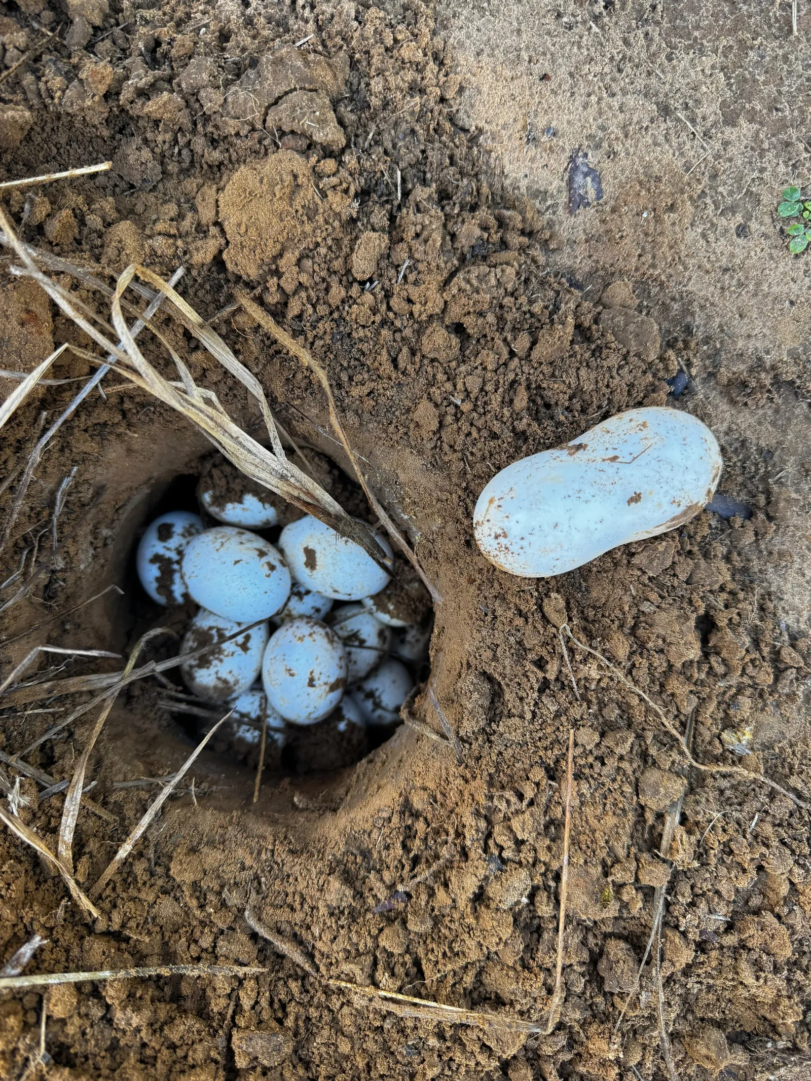
Automatic translation. This text was translated from Portuguese by artificial intelligence and has not yet been reviewed by a person.
Explore
Explore Amapá
Tourist attractions in Pracuúba
-
PracuúbaNaturePracuúba Amapá
Olho da Cobra d’Água Recreation Area
A leisure option in Pracuúba.
-
PracuúbaCulture and placesPracuúba Amapá
Casa Paciência
Craftwork using materials from the local landscape.
-
PracuúbaChurchPracuúba Amapá
São Francisco Church — São Miguel
Religious heritage in São Miguel community.
-
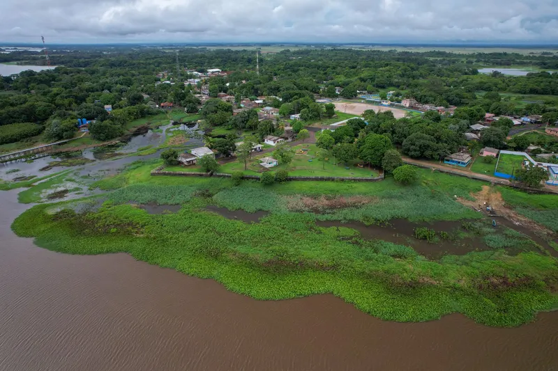 Square and waterfront
Pracuúba Amapá
Pracuúba Waterfront
Where the town meets its waterside landscape.
Image credits
Photo: Acervo Fecomércio Amapá / Cetur · Uso autorizado pela Fecomércio AP, titular do portal turismoamapa.com.br (21/10/2026). — Licence & original
-
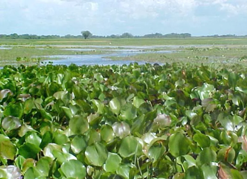 Nature
Pracuúba Amapá
Pracuúba Lake Region
Landscapes changing with floods and dry periods.
Image credits
Photo: Fonte: IEPA / PROBIO; fotógrafo não identificado no capítulo · Licença de reutilização não informada pela fonte; autoria e procedência preservadas. — Licence & original
Use offline
Download the pages, photos, ready-made phrases and map of Pracuúba to open them without signal. Everything stays on this device only.
On iPhone, add AXITUR to your Home Screen: Safari may delete what a site downloaded if you have not opened it for 7 days.
Map
On the map
No items with a location in this municipality yet.
History
Listen to the story
Automatic reading of the text below in its available language. Offline use requires a voice installed on this device.
Read-aloud requires a compatible browser voice. The full text is available below.
Pracuúba’s history is inseparable from the rivers, lakes and flooded grasslands of inland Amapá. Riverside communities developed along the Pracuúba and Flexal rivers, with fishing central to work and food supplies. The municipality was established in 1992, but residents’ connections with aquatic environments predate this administrative arrangement.
Artisanal fishing, farming and the harvesting of forest products remain important to understanding the territory. Beyond the municipal seat, places such as Flexal, São Miguel and Tucunaré show how local life is spread across several communities. Discovering Pracuúba involves observing the relationship between food, travel and landscape, valuing local knowledge and respecting the seasons and guidance governing the use of natural environments.
Sources & information
- Fecomércio AP — Pracuúba Accessed on 2026-09-22
- Unifap/PDIFF-AP — História, comunidades e pesca em Pracuúba Accessed on 2026-09-22
Official data
- IBGE code
- 1600550
- State
- AP
- Estimated population
- 4,053 (2026, IBGE)
- Brazilian Tourism Map
- Not verified