Amapá · Brasil
Laranjal do Jari
Waterfalls, river beaches and forest livelihoods shape this gateway to the Jari Valley.
Photos
Select a photo to enlarge it. Captions identify the place and the source.
-
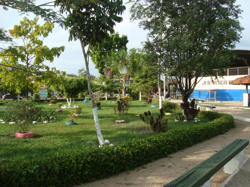
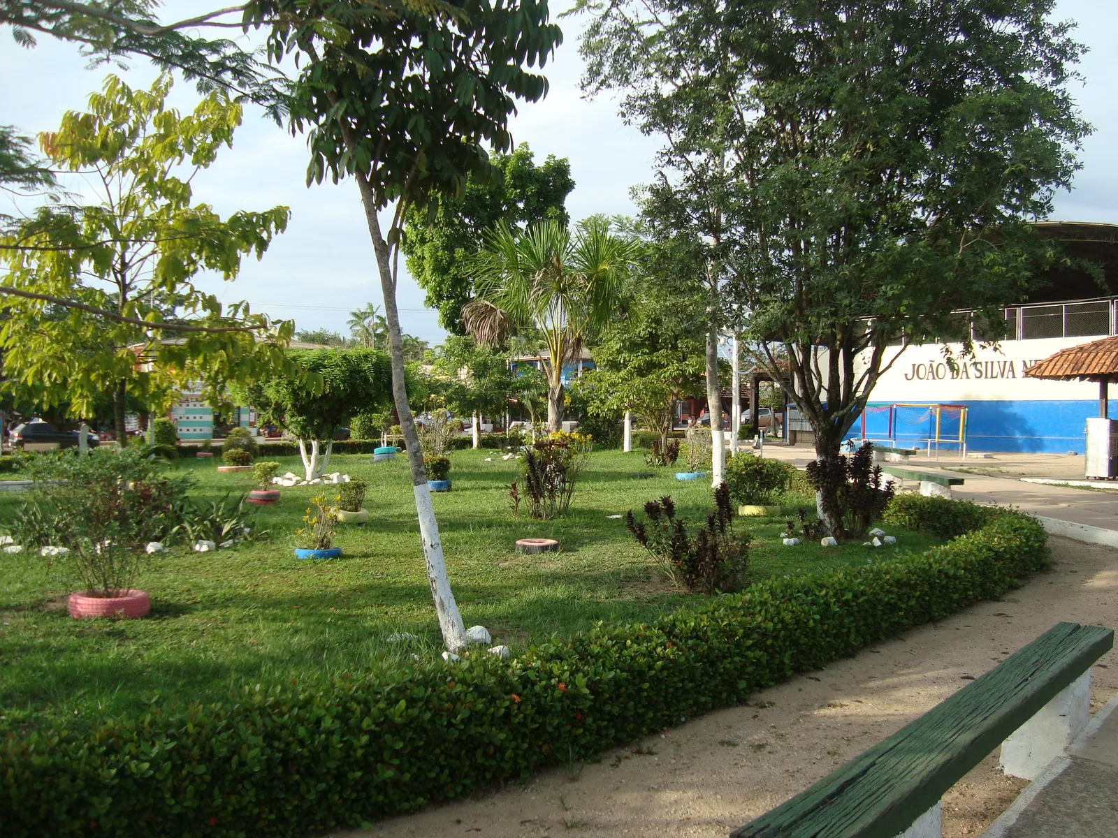
Park in Laranjal do Jari. Photo: LeRoc · CC BY-SA 3.0 — Licence & original
Automatic translation. This text was translated from Portuguese by artificial intelligence and has not yet been reviewed by a person.
Explore
Explore Amapá
Tourist attractions in Laranjal do Jari
-
 Nature
Laranjal do Jari Amapá
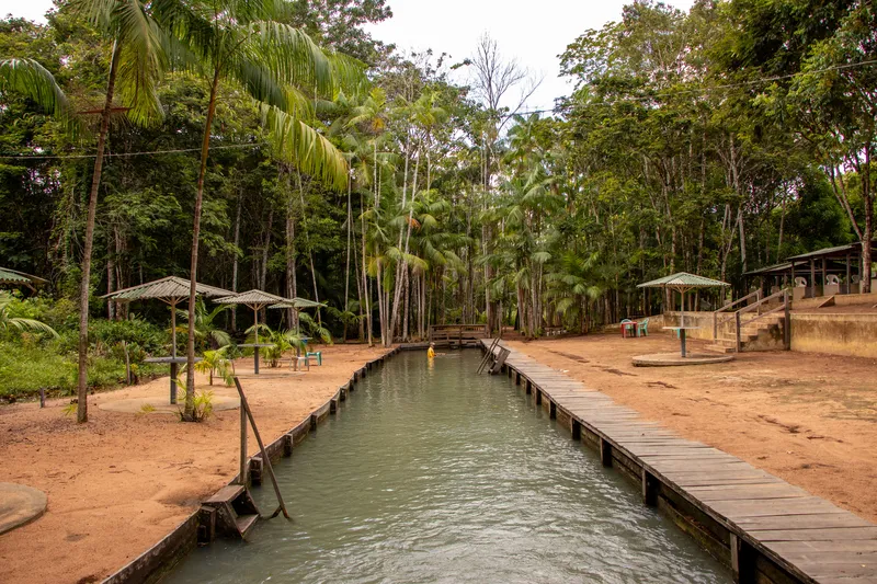
Balneário Pé da Serra
Leisure site near the urban area, reached along an unpaved road.
Image credits
Photo: Acervo Fecomércio Amapá / Cetur · Uso autorizado pela Fecomércio AP, titular do portal turismoamapa.com.br (21/10/2026). — Licence & original
-
 Waterfall
Laranjal do Jari Amapá
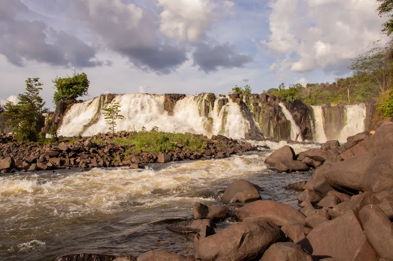
Cachoeira de Santo Antônio
Waterfalls on the Jari River, among southern Amapá’s main natural attractions.
Image credits
Photo: Acervo Fecomércio Amapá / Cetur · Uso autorizado pela Fecomércio AP, titular do portal turismoamapa.com.br (21/10/2026). — Licence & original
-
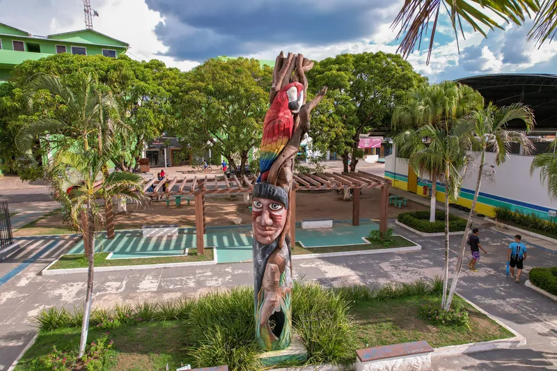 Square and waterfront
Laranjal do Jari Amapá
Praça João da Silva Nery
Square in Laranjal do Jari listed in Fecomércio’s tourism inventory.
Image credits
Photo: Acervo Fecomércio Amapá / Cetur · Uso autorizado pela Fecomércio AP, titular do portal turismoamapa.com.br (21/10/2026). — Licence & original
-
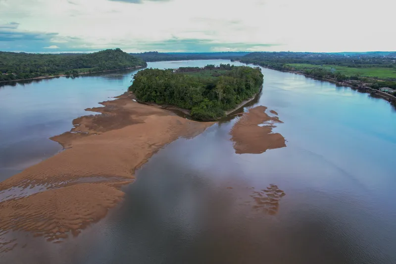 River and river beach
Laranjal do Jari Amapá
Praia da Samaúma
Beach included in Laranjal do Jari’s tourism inventory.
Image credits
Photo: Acervo Fecomércio Amapá / Cetur · Uso autorizado pela Fecomércio AP, titular do portal turismoamapa.com.br (21/10/2026). — Licence & original
Use offline
Download the pages, photos, ready-made phrases and map of Laranjal do Jari to open them without signal. Everything stays on this device only.
On iPhone, add AXITUR to your Home Screen: Safari may delete what a site downloaded if you have not opened it for 7 days.
Map
History
Listen to the story
Automatic reading of the text below in its available language. Offline use requires a voice installed on this device.
Read-aloud requires a compatible browser voice. The full text is available below.
In southwestern Amapá, Laranjal do Jari developed in a region with a long Indigenous presence and livelihoods tied to rivers and forests. The Jari Project, established in the second half of the twentieth century, drew workers from different parts of Brazil and accelerated settlement along the Jari River, opposite the industrial centre of Monte Dourado in Pará. The municipality was created in 1987 from part of Mazagão.
Its history brings together migration, urban growth and the knowledge of communities that harvest forest products. Brazil nuts and açaí connect the economy with forests and local ways of life. Visiting Laranjal means observing these relationships between the city, productive activities and river landscapes, while respecting communities and protected-area rules.
In Alto Cajari, women from the AMAC and Amobio associations organised community kitchens to make Brazil-nut biscuits and paçoca sweets, with documented supplies to schools in Laranjal. Their experience connects regional flavours with the history of community organisation.
Sources & information
- Fecomércio AP — Laranjal do Jari Accessed on 2026-09-22
- Unifap/PDIFF-AP — História e atividades produtivas de Laranjal do Jari Accessed on 2026-09-22
- Fecomércio/AP e Cetur/AP — Turismo no Amapá 2024, página PDF 89 Accessed on 2026-09-23
- ICMBio — Extrativismo e Conservação da Biodiversidade: mulheres e cozinhas comunitárias do Alto Cajari, seção 2.4 Accessed on 2026-09-23
Official data
- IBGE code
- 1600279
- State
- AP
- Estimated population
- 37,781 (2026, IBGE)
- Tourist region
- Vale do Jari
- Brazilian Tourism Map
- Yes (2025)